
What is recorded here
Located at the crest of the W-facing slope of a drumlin. A church at Ardagh is listed as a chapel-of-ease to Nobber in the visitations of Ussher (1622) (Erlington 1847-64, 1, xcvii) and Dopping (1682-5) (Ellison 1973, 4). By the 19th century it had become a parish, probably when a church was built in 1805 (Lewis 1837, 1, 41). Cogan (1862-70, 2, 294-5) says it was dedicated to St Patrick. This church is now visible as a sunken area (dims 11.2m NW-SE; 8.5m NE-SW), but another structure described as 'in ruins' on the 1836 ed. of the OS 6" map is at the N angle of the subrectangular graveyard (dims c. 48m NW-SE; c. 25-35m NE-SW) defined by stone-faced earthen banks with trees. This building orientated NW SE (int. L 7.7m. int. Wth 3.7m) is unlikely ever to have been a church and has no diagnostic features. A small bullaun stone that was in the graveyard in 1984 is missing as is a possible font that has a faceted stem (diam. 0.3m; H 0.25m) expanding into a damaged basin (D 0.12m) but there was no drain-hole. The crude base of a cross or a boulder (dims 0.6m x 0.45m; H c. 0.4m) supporting a stoup (dims c. 0.28m x 0.28m; H 0.28m) that was in the laneway to the S is also missing.
The above description is derived from the published 'Archaeological Inventory of County Meath' (Dublin: Stationery Office, 1987). In certain instances the entries have been revised and updated in the light of recent research.
Compiled by: Michael Moore
Date of revision: 10 December, 2014
A church at Ardagh, listed as a chapel-of-ease to Nobber, is recorded in 17th-century visitations, suggesting it was built in the early modern period, likely in the 16th or 17th century, and was dedicated to serving the local parish under the jurisdiction of Nobber. Its location on a drumlin indicates a strategic or symbolic placement within the landscape.
The monument record does not grant public access. Check the route and ask the landowner before entering private land.
- What survives
- Recorded monument
Places near here
 Cross in ArdaghCross · 54 yd
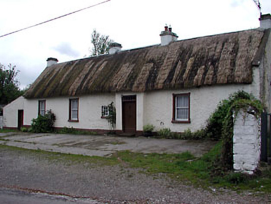 farm housefarm house · 1406 yd
 Stone CrossCross · 1415 yd
 Tree IslandWood · 1757 yd
 Tobermannan Bridgebridge · 1.1 mi
 BarleyhillMountain / peak · 1.2 mi
 Cloghreagh Castle in RuinsCastle, unclassified · 1.8 mi
 CabraMountain / peak · 2.6 mi
 Natural Play AreaMemorial · 2.6 mi
 Dún a Rí Forest ParkForest · 2.6 mi
 In Memory of Our DadMemorial · 2.7 mi
 Castle ruinsCastle, unclassified · 2.8 mi
Other information
Photo: Credit not shown in the picture search · Rights wording not checked; contact us if this picture should be removed