What is recorded here
Fairy fort in Annagloor stands on a natural rise above a sharp fall of ground, its rough circular enclosure marked across old maps and still visible as a patch of poor grass. An earthen bank survives to the northeast, woven into the field boundary, while the rest resists neat description. People may have lived there, marked territory or simply shaped the land before memory faded. The name fairy fort suggests they refused to explain it plainly.
In pasture, atop natural rise with sharp fall of ground to S and E. Depicted as hachured roughly circular enclosure (diam. c. 20m) on 1842, 1904 and 1936 OS 6-inch maps. Arc formed by earthen bank (int. H 1.3m; ext. H 1.6m) survives to NE, incorporated into field boundary system. Remaining area of enclosure visible as patch of rough ground (diam. c. 30m) with poor covering of grass. Recorded by Bowman (1934, 312) as single-ramparted fort (diam. c. 23yd; bank c. 7ft H; fosse infilled) on D. Mulcahy's land, with interior c. 3ft higher than outside field level.
The above description is derived from the published 'Archaeological Inventory of County Cork. Volume 4: North Cork' (Dublin: Stationery Office, 2000). In certain instances the entries have been revised and updated in the light of recent research.
Date of upload/revision: 14 January 2009
The monument record does not grant public access. Check the route and ask the landowner before entering private land.
- What survives
- Recorded monument
Places near here
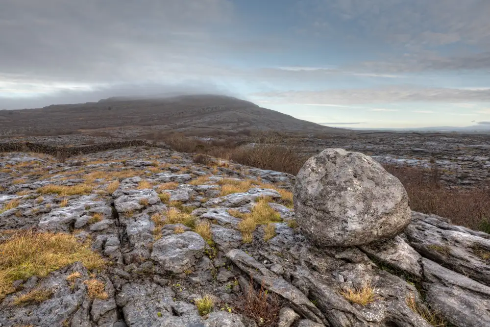 Boulder-burial in Derreen (muskerry West By., Drishane Par.)Boulder-burial · 1435 yd
 IndicatedFairy fort / earthen ringfort · 1757 yd
 Church of Our Lady of Lourdeschurch/chapel · 1.1 mi
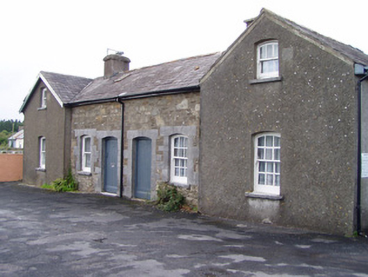 Millstreet Railway Stationworker's house · 1.5 mi
 Claragh MountainMountain / peak · 1.6 mi
 Millstreet Museum & Tourist Information CentreMuseum · 1.8 mi
 Claragh Loop (Trailhead 99)Visitor information · 1.8 mi
 St. Patrick's ChurchVisitor information · 1.9 mi
 Dromsicane Castle (in Ruins)Bawn · 2.0 mi
 RowanRowan · 2.3 mi
 Castle and TurretCastle, tower house · 2.5 mi
 CurracahillMountain / peak · 2.8 mi