What is recorded here
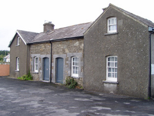
Pair of semi-detached three-bay single-storey with attic former railway worker's houses, built 1853, having gabled end-bays projecting slightly to front and rear elevations. Now in use as private houses. Single-bay single-storey lean-to to east house, three-bay single-storey extension to west house. Pitched slate roofs with rendered chimneystacks. Roughcast rendered walls to projecting end-bays and snecked sandstone walls to centre bays. Camber-headed openings, west house having one-over-one pane timber sliding sash windows and east house having six-over-six pane to ground floor and three-over-three pane to first floor, all with limestone sills and windows to centre bays having cut limestone block-and-start surrounds. Similar detailing to doorways, with timber battened doors. Square-profile ashlar limestone piers to yard to front and rear of houses, with pyramidal caps and recent metal gate, set to rubble sandstone walls. Wall to south side of gateway has cast-iron post box with royal insignia of Edward VII.
The Great Southern and Western Railway Company provided housing for key railway workers, of which these worker's houses are a fine example. Such structures were deemed important enough to warrant careful design and good quality materials were often used in their construction. These examples retain their original form and materials such as the slate roof and varied timber sash windows. The façade is enlivened by the ornate limestone surrounds to the windows and doors. The juxtaposition of limestone and sandstone creates an interesting chromatic and textural variation which further enlivens the façade. These former worker's houses form part of a group with the railway station and signal boxes.
This does not grant access. Most recorded buildings are privately owned; view them only from public ground unless the owner allows entry.
Places near here
 Dromsicane Castle (in Ruins)Bawn · 1032 yd
 Fulacht FiadhFulacht fia · 1441 yd
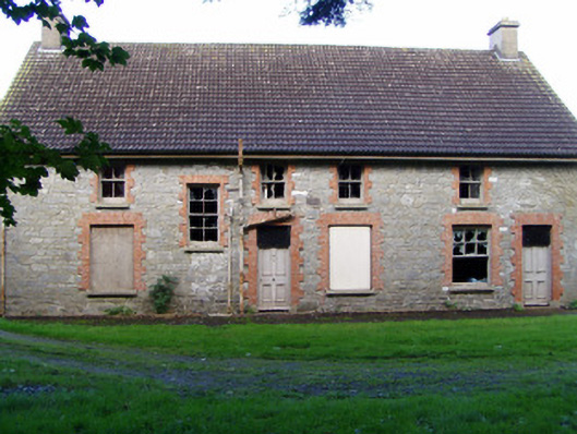 Drishane Castlecreamery · 1602 yd
 Castle and TurretCastle, tower house · 1738 yd
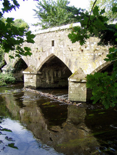 Wallis's Bridgebridge · 1.1 mi
 Millstreet Tourist InformationVisitor information · 1.2 mi
 Millstreet Museum & Tourist Information CentreMuseum · 1.2 mi
 Claragh Loop (Trailhead 99)Visitor information · 1.2 mi
 RowanRowan · 2.1 mi
 Claragh MountainMountain / peak · 2.2 mi
 CurracahillMountain / peak · 3.9 mi
Other information
Photo: National Inventory of Architectural Heritage · Website use allowed for educational or private purposes with source credit