What is recorded here
Situated on a prominent hillock in an undulating landscape with a small N-S drain or stream that forms the county boundary with Westmeath immediately to the W. The interior slopes from the centre down (H 2.6m) to the S. This is a circular grass-covered area (diam. 53m WNW-ESE; 51m NNE-SSW) defined by a scarp (at S: Wth 7m; H 1.2m; at N: Wth 4.5m; H 2.4m). The most likely entrance is a ramp (Wth of base 2.6m) at SE.
The above description is derived from the published 'Archaeological Inventory of County Meath' (Dublin: Stationery Office, 1987). In certain instances the entries have been revised and updated in the light of recent research.
Compiled by: Michael Moore
Date of revision: 22 November 2018
The monument record does not grant public access. Check the route and ask the landowner before entering private land.
- What survives
- Recorded monument
Places near here
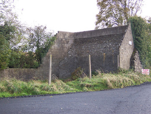 handball alleyhandball alley · 824 yd
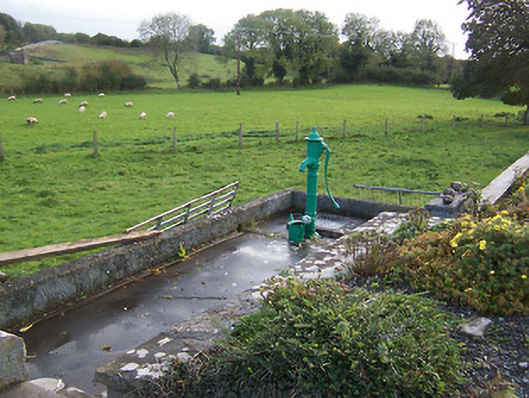 water pumpwater pump · 876 yd
 Field system in Annagh (fore By.)Field system · 914 yd
 Enclosure in Annagh (fore By.)Enclosure · 932 yd
 Hilltown Castle (in ruins)Castle, tower house · 1270 yd
 European BeechEuropean Beech · 1.5 mi
 CastleCastle, unclassified · 1.5 mi
 Mullaghmeen ForestPicnic place · 2.5 mi
 Seafin HillMountain / peak · 2.9 mi
 European ashEuropean ash · 3.5 mi
 Rock of CurryCliff · 3.8 mi
 Zip WireHeritage attraction · 3.9 mi