What is recorded here
Half a kilometre of green slope hides two earthen rings, one a twenty-five metre chamber of loose stone and shadow. The bank still stands, faced in places with dry stone, while a small corbelled hut clings to its inner wall like a forgotten room. People may have watched river traffic from this ridge or simply kept sheep from the drop. The fairies, according to local story, took the fort later and stopped asking permission.
Internal diam. 25m
This is one of a pair of earthen-banked raths situated within 200m of each other on the SE facing slopes of Drom Hill (334 feet/102m), overlooking the estuary of the Glennahoo and Scorid rivers. Both the circular interior and the enclosing bank and fosse are densely overgrown and not all sections are accessible. The bank is a maximum of 1.6m high internally and rises 2.7m above the base of the fosse; it is 3.75m wide at base. For most of its circuit the inner flank of the bank is faced with drystone walling which stands to a maximum height of 1.2m. In the NW quadrant the outer flank is similarly faced. For a distance of 7m at WNW, the bank is entirely stone built but this may be due to later modification. A stone wall runs along the crest of the bank for most of its S half, but this is probably a later addition also. On the 2nd edition of the OS map the external fosse was recorded as being continuous. However, around the E half of the site, there is now only a very slight depression. To W it is .9m deep below the surrounding field and 2m wide at base. The entrance may have been in the SE quadrant as the bank exhibits no internal height in this section and elsewhere apppears to be continuous.
A circular stone hut, 4.6m in internal diameter, is built against the inner stone face of the bank at WSW. Only the NW half of its wall is traceable. It stands to a maximum height of 1.4m and is slightly corbelled. The remainder of the interior of the fort is strewn with loose stone but no structures are discernible. In the SW quadrant a length of drystone masonry, extending 4m from the bank towards the centre, retains a terrace on its N side; the function of this feature is unclear.
The above description is derived from J. Cuppage, ‘Corca Dhuibhne. Dingle Peninsula archaeological survey. Ballyferriter. Oidhreacht Chorca Dhuibhne’ (1986), no. 399. In certain instances the entries have been revised and updated in the light of recent research.
Date of upload: 6 August 2013
The monument record does not grant public access. Check the route and ask the landowner before entering private land.
- What survives
- Recorded monument
Places near here
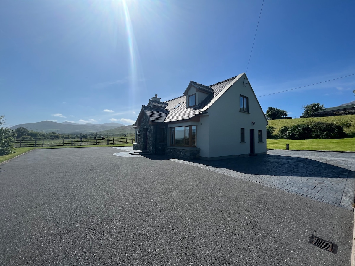 Hut site in An Droim ThoirHut site · 11 yd
 Drom BeachBeach / strand · 431 yd
 Enclosure in Cnoc Na NgabharEnclosure · 852 yd
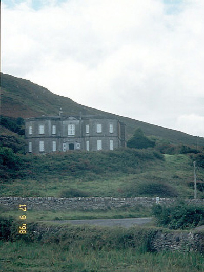 Fermoyle Househouse · 1646 yd
 An t'Oileán DubhIslet · 1677 yd
 Site of CastleCastle, unclassified · 1683 yd
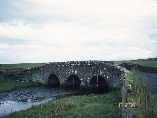 bridgebridge · 1.1 mi
 An CheapaighBeach / strand · 1.1 mi
 Hillville WoodWood · 1.4 mi
 Pointe na CathrachHeadland · 1.9 mi
 Binn an TuairMountain / peak · 2.2 mi
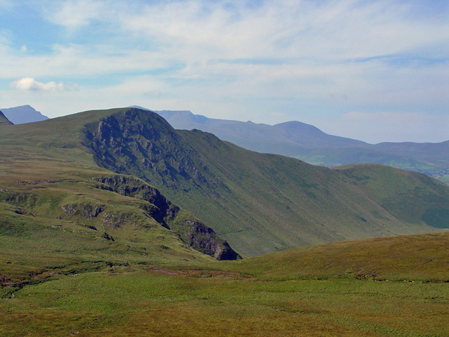 Gob an IolairMountain / peak · 2.5 mi