What is recorded here
A low bank and hidden ditch still mark the fort in Aghantrah, though cattle, rain and boundary making have worn most of it flat. It stands out only slightly in wet pasture, yet that small rise may have controlled entry, exit or watchfulness for a whole neighbourhood. The fairies keep what the land stopped showing; people forgot the shape but never stopped living beside it.
On a low but prominent rise in low-lying pasture. Depicted as a circular enclosure with the designation 'Fort' on the 1837 ed. of the OS 6-inch map. Extant remains comprise a subrectangular area (36.6m NW-SE; 28.4m NE-SW) enclosed by a much-denuded, low bank of earth and stone (Wth 3.4m; H 0.2m max.) with an infilled external fosse (Wth 3.1m). Along the NW and NE sides the bank has been incorporated into the townland boundary. The original entrance is not recognisable.
Compiled by: Patrick F. O'Donovan
Date of upload: 26 August 2011
The monument record does not grant public access. Check the route and ask the landowner before entering private land.
- What survives
- Recorded monument
Places near here
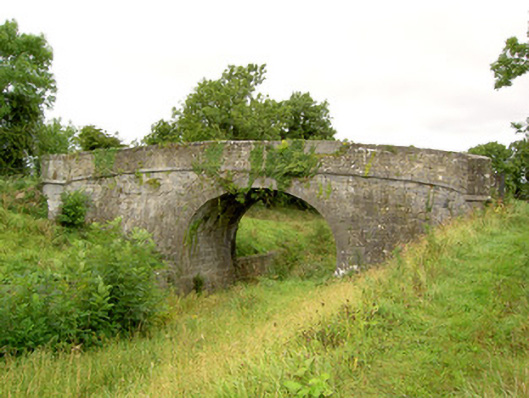 Aghantrah Bridgebridge · 270 yd
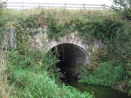 bridge, aqueductbridge, aqueduct · 394 yd
 Enclosure in AghantrahEnclosure · 832 yd
 CastleCastle, tower house · 1261 yd
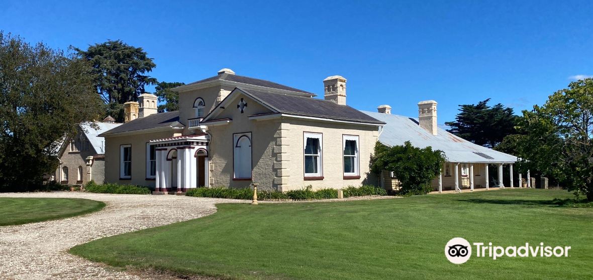 Enclosure in CaldraghmoreEnclosure · 1382 yd
 Graveyard in Curry (ardagh By., Coolamber Ed)Graveyard · 1697 yd
 First World War MemorialMemorial · 3.5 mi
 Saint Mel's CathedralCathedral · 3.7 mi
 Bawn in AbbeycartronBawn · 3.8 mi
 Commons North WalkVisitor information · 6.1 mi
 Wild birdsVisitor information · 6.2 mi
 White Sand WoodWood · 6.3 mi