What is recorded here
A narrow stream circles half the fort, feeding a shallow ditch that still holds rainwater. People built a round house on a low mound beside running water because the place suited them, not because rule books said it should. The clay remembers footsteps, marrow and milk pails. Fairy fort is a nickname born from wonder, not a warning label.
Not marked on OS 1836 or 1876 eds. Situated in low-lying ground adjacent to a stream which is an unusual siting for a rath. Raised circular area (int. diam. c. 19m N-S) on a low natural mound. An earlier report (OPW 1970) noted a low counterscarp bank and shallow, partly waterlogged fosse enclosing the site from N-S-WNW. A stream skirts the site from WNW-N. Original entrance may have been at S.
The above description is derived from the published 'Archaeological Inventory of County Cavan' (Dublin: Stationery Office, 1995). In certain instances the entries have been revised and updated in the light of recent research.
Date of upload/revision: 22 December 2008
A fairy fort / earthen ringfort in Aghaloory is a likely early-medieval circular earthwork, distinguished by its unusual low-lying position near a stream. Local tradition associates it with fairy lore, as suggested by its name, though specific folklore details are not recorded.
The monument record does not grant public access. Check the route and ask the landowner before entering private land.
- What survives
- Recorded monument
Places near here
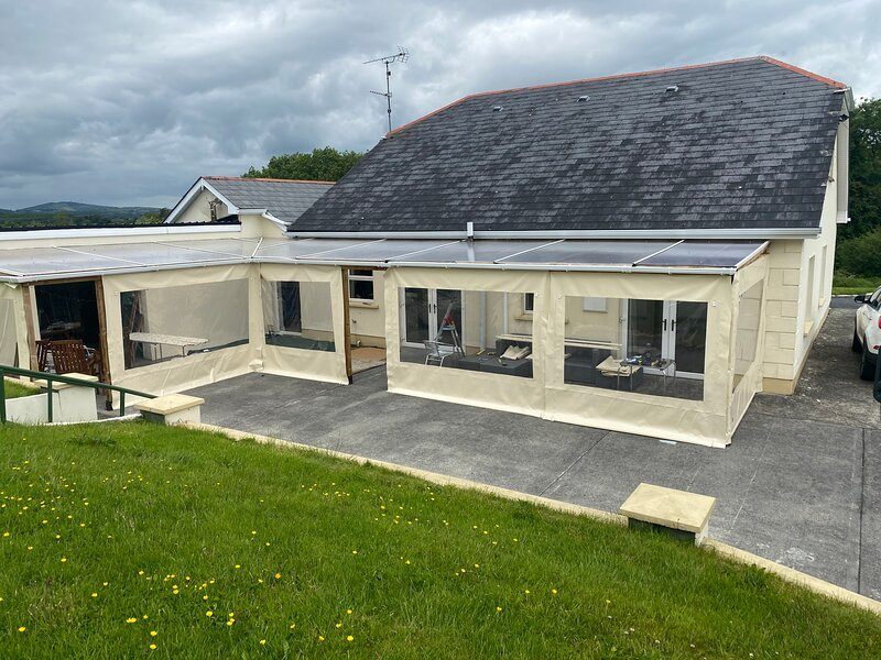 Aghakilmore LowerMountain / peak · 258 yd
 CrossCross, Wayside cross · 1462 yd
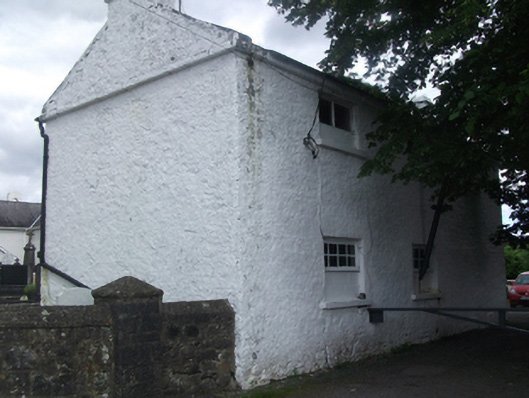 Sean Briody Car Sales & Repairsschool · 1.0 mi
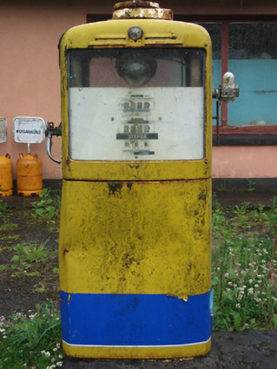 filling pump/stationfilling pump/station · 1.1 mi
 Deer ParkWood · 1.4 mi
 Cross in KillCross · 1.4 mi
 DrumbrucklisMountain / peak · 1.9 mi
 CastleCastle, motte · 2.3 mi
 Crane IslandIslet · 2.8 mi
 Gull IslandIslet · 2.8 mi
 Moynagh Upper ForestForest · 3.0 mi
 IdicatedCastle, unclassified · 3.6 mi