What is recorded here
On an E-facing slope in pasture. A raised circular area (diam. 31.5m) enclosed by a substantial bank of earth and stone (Wth 3-3.8m; H 0.75-0.95m) from SE–S–N and elsewhere defined by a scarp (H 0.7-1.4m). A report in 1975 (SMR file) recorded a wide, shallow, external fosse, which is not visible at ground level. The original entrance is not recognisable.
Compiled by: Patrick F. O'Donovan
Date of upload: 22 November 2011
The monument record does not grant public access. Check the route and ask the landowner before entering private land.
- What survives
- Recorded monument
Places near here
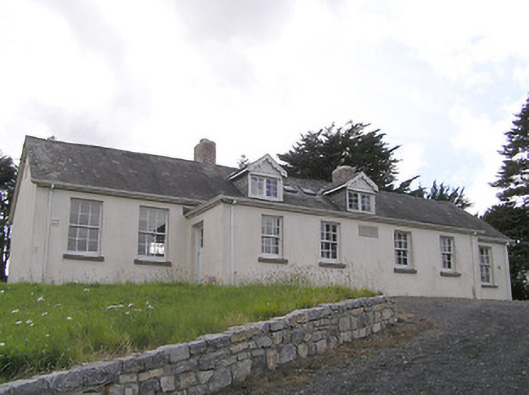 Scoil Náisiúnta Naomh Muireschool · 1502 yd
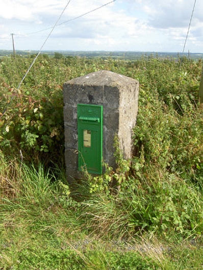 post boxpost box · 1.2 mi
 Sonnagh fortArchaeological place · 1.2 mi
 Columbkilles StoneRitual site, holy/saint's stone · 1.3 mi
 InchmoreIslet · 1.3 mi
 BawnBawn · 2.1 mi
 Derrycassan WoodsWood · 2.3 mi
 Cloonfin WoodForest · 2.4 mi
 Clonfin Ambush MemorialMemorial · 3.6 mi
 Bully's Acregraveyard/cemetery, unknown · 3.7 mi
 Arnaghan SouthMountain / peak · 3.8 mi
 Bawn in CurrycahillBawn · 3.9 mi