What is recorded here
Thirty metres across on an east-facing slope in Abbeystrowry, the earthen bank still marks a circular home though grass and tillage have swallowed most of its shape. People may have lived inside that ring before the land became farm, pulling food from the same soil and watching weather roll off the eastern slope. The western ditch remains the clearest edge of the old boundary, a shallow scar that keeps the fort visible when the rest disappears into green growth.
In tillage, on E-facing slope. Heavily overgrown circular area (diam. c. 30m) defined by earthen bank with external fosse to W.
The above description is derived from the published 'Archaeological Inventory of County Cork. Volume 1: West Cork' (Dublin: Stationery Office, 1992). In certain instances the entries have been revised and updated in the light of recent research.
Date of upload/revision: 14 January 2009
The monument record does not grant public access. Check the route and ask the landowner before entering private land.
- What survives
- Recorded monument
Places near here
 New Bridgebridge · 496 yd
 Abbey Strowry (in Ruins)Church · 686 yd
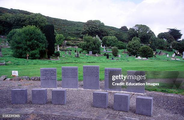 Man-made underground passage in AbbeystrowryMan-made underground passage · 857 yd
 Heritage CentreMuseum · 866 yd
 Man-made underground passage (Site of)Man-made underground passage · 990 yd
 Bishop MahonyMemorial · 1340 yd
 Wild Atlantic WayVisitor information · 1724 yd
 Site of CastleCastle, unclassified · 1.4 mi
 Coolngrane Fairy FortFort · 1.4 mi
 Lough HyneVisitor information · 1.7 mi
 Monterey CypressMonterey Cypress · 3.0 mi
 Giant's GraveArchaeological place · 3.4 mi