What is recorded here
Fairy fort / earthen ringfort in Fadduaga is a fairy fort or earthen ringfort in Fadduaga, County Waterford, Ireland. The 1999 inventory recorded an overgrown circular area, 26 metres east-west and 25 metres north-south, on a west-facing slope overlooking a small north-south stream about 130 metres to the west. Its earthen bank measured 5.5 to 6.7 metres wide, rose 1 to 1.4 metres internally and 1 metre externally, and faced slight traces of an eastern fosse through a west-northwest entrance.
Situated on a W-facing slope overlooking a small N-S stream c. 130m to the W. This is an overgrown circular area (diam. 26m E-W; 25m N-S) defined by an earthen bank (Wth 5.5-6.7m; int. H 1-1.4m; ext. H 1m), with slight traces of a fosse at E. There is an entrance at WNW.
The above description is derived from the published 'Archaeological Inventory of County Waterford' (Dublin: Stationery Office, 1999). In certain instances the entries have been revised and updated in the light of recent research.
Date of upload: 23 December 2008
The monument record does not grant public access. Check the route and ask the landowner before entering private land.
- What survives
- Recorded monument
Places near here
 Salterbridge Housebridge · 397 yd
 London PlaneLondon Plane · 944 yd
 European YewEuropean Yew · 1064 yd
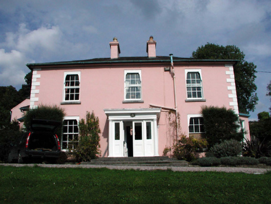 Tivoli Househouse · 1223 yd
 Cappoquin Ho.Castle, unclassified · 1491 yd
 TombBurial ground · 1570 yd
 WaterfallViewpoint · 1.2 mi
 LismoreCastle, motte and bailey · 1.8 mi
 Coillte infoboardVisitor information · 1.9 mi
 Glenshelane Red WalkWalking route · 2.0 mi
 Embanked enclosureFairy fort / earthen ringfort · 2.0 mi