What is recorded here
Identified as anomalies (M2) on the geophysical survey (Murphy 2024; 24R0389) and confirmed by test trenching (Gallagher 2024; 24E0802). Two small pits (C21, C22), (dims. 0.5mx 0.5m) filled with small, sub-angular burnt stones and charcoal were found c. 40m NW of a burnt mound (KK024-171----) (ibid.). They are likely to be associated with the burnt mound (ibid.).
Compiled by: Jean Farrelly
The monument record does not grant public access. Check the route and ask the landowner before entering private land.
- What survives
- Recorded monument
Places near here
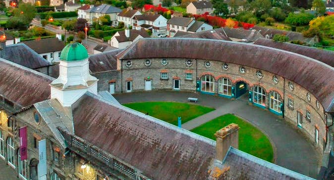 Enclosure in Clashwilliam (gowran By., Dunbell Ed)Enclosure · 880 yd
 Ballynaboley Castle (in ruins)Castle, tower house · 1182 yd
 IndicatedEnclosure · 1218 yd
 Ballynaboley Church (in ruins)Church · 1432 yd
 The CommonsForest · 1565 yd
 The ClahounForest · 1.0 mi
 Site of Blanchville CastleCastle, unclassified · 1.1 mi
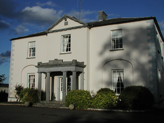 Blanchville Housecountry house · 1.2 mi
 O'Gorman's Lane LoopWalking route · 2.1 mi
 Tullaherin Church and Round TowerVisitor information · 2.2 mi
 Time CapsuleMemorial · 2.5 mi
 Kilbline GraveyardArchaeological place · 2.7 mi