What is recorded here
Situated in a fairly level area between the cremation pit (ME044-056----) to the S and the remnants of a fulacht fia (ME044-054----) to the N. Archaeological monitoring (15E0125) by S. McGlade in Phase 1 of the archaeological mitigation connected with a housing development (excavations.ie 2018: 032) identified seven pits spread over a fairly wide area (dims c. 45m N-S; c. 10-15m E-W). The pits are generally oval (dims 1m x 0.96m; D 0.38m to 3.6m x 1m; D 0.14m) and contain some amount of burnt bone. One has some scorching on its base and it is possible that they could have served as cremation pits. (McGlade 2020, vol. 1, 40-2)
Compiled by: Michael Moore
Date of upland: 9 December 2021
The monument record does not grant public access. Check the route and ask the landowner before entering private land.
- What survives
- Recorded monument
Places near here
 Enclosure in Roestown (ratoath By.)Enclosure · 490 yd
 EnclosureEnclosure, large enclosure · 524 yd
 Dunshaughlin Civic Officesoffice · 854 yd
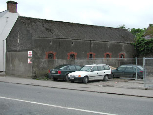 outbuildingoutbuilding · 1182 yd
 Killeen CastleCastle, tower house · 2.2 mi
 Laurel WoodsWood · 3.0 mi
 Dunsany CastleCastle, unclassified · 3.1 mi
 Dunsany WoodWood · 3.1 mi
 Lismahon 1798 MemorialMonument · 3.5 mi
 Emerald ParkHeritage attraction · 4.5 mi
 Battle of Tara Hillbattle · 5.0 mi
 Battle of Tara (Ireland)Major battlefield · 5.0 mi