What is recorded here
Located in a low-lying landscape with a N-S stream c. 40m to the W and an E-W stream c. 100m to the N. It was excavated (E3569) as the W part of Area 5 during 2006 on the N side of the existing road as part of the N25 road re-alignment scheme. Four adjacent pits were excavated. One (diam. 0.7m; D 0.15) contained some flints. Immediately to the S a second pit (diam. diam. 0.75m; D 0.2m) contained no artefacts, but the third oval pit (dims 0.85m N-S; 0.6m E-W; D 0.16m) was 1.6m to the W, and contained silty clay with charcoal flecks, flint debitage, and a sherd of a Neolithic carinated bowl. Just to its S a fourth pit (dims. 0.8m x 0.6m; D 0.2m) also had flint debitage, but also produced a C14 date of cal BC 1952-1745. (Hegarty 2007c, 7-8, 10)
Hegarty, L. (2007c) N25 Kilsalebeg Realignment. Final report on archaeological and paleoenvironmental investigations in the townlands of Shancoole and Pillotown, Co. Waterford. Headland Archaeology
Compiled by: Michael Moore
Date of upload: 07 October 2011
The monument record does not grant public access. Check the route and ask the landowner before entering private land.
- What survives
- Recorded monument
Places near here
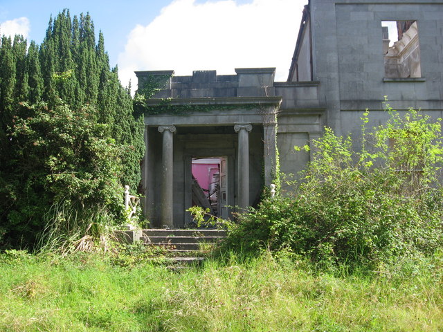 Enclosure in PilltownEnclosure · 354 yd
 Flour MillMill, unclassified · 578 yd
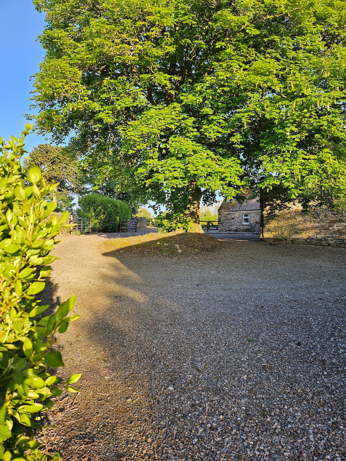 KinsalebegSettlement cluster · 630 yd
 Site of CastleCastle, unclassified · 672 yd
 R. C. ChapelChurch · 715 yd
 Kilmaloo LoughWood · 1.1 mi
 Ardmore Open FarmHeritage attraction · 1.8 mi
 Castle (in ruins)Castle, tower house · 1.8 mi
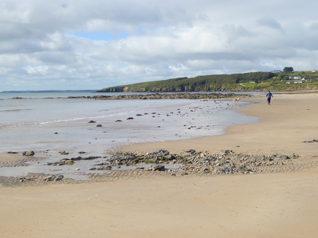 Whiting BayBeach / strand · 2.0 mi
 Ferry PointViewpoint · 2.1 mi
 Store Street & New Catherine StreetVisitor information · 2.2 mi
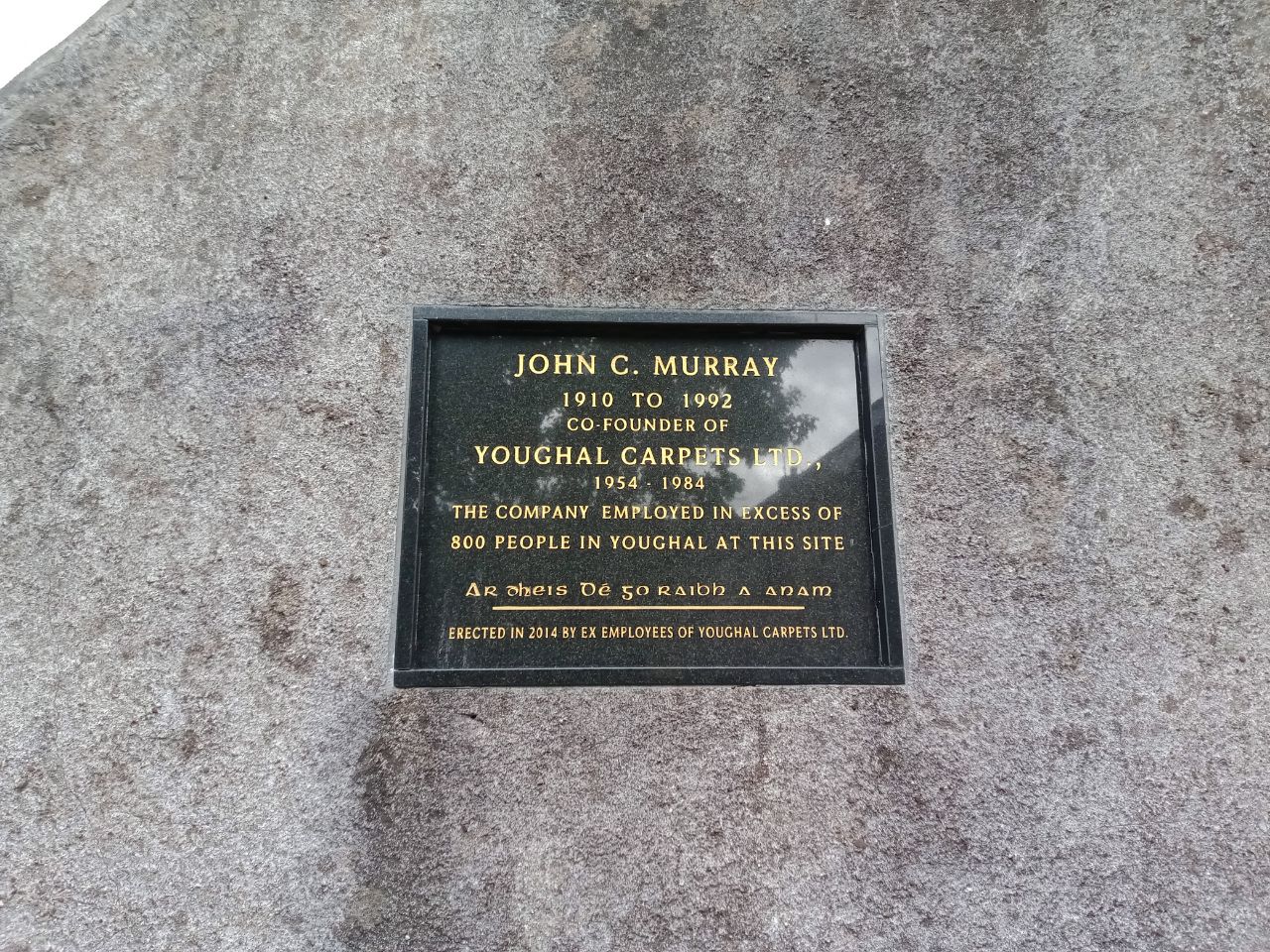 John C. MurrayMemorial · 2.3 mi