What is recorded here
In tillage. Two linear features (Wth 1-1.1m), aligned NW-SE, and a pit (dims. 1.8m x 1.2m) were identified by geophysical survey (Murphy 2024; 24R0390) and subsequently confirmed by test trenching (Gallagher 2025, C15, C16, C17; 24E0801). All three were filled by compact mid- or dark grey/brown silty clay and occasional small subangular stones, though these were more frequent in the pit (C17). One of the linear features (C16) also contained some charcoal. These features are immediately E of a burnt mound (WA017-113----) and their proximity would suggest that they are related.
Compiled by: Jean Farrelly
The monument record does not grant public access. Check the route and ask the landowner before entering private land.
- What survives
- Recorded monument
Places near here
 Burnt mound in CarriglongBurnt mound · 59 yd
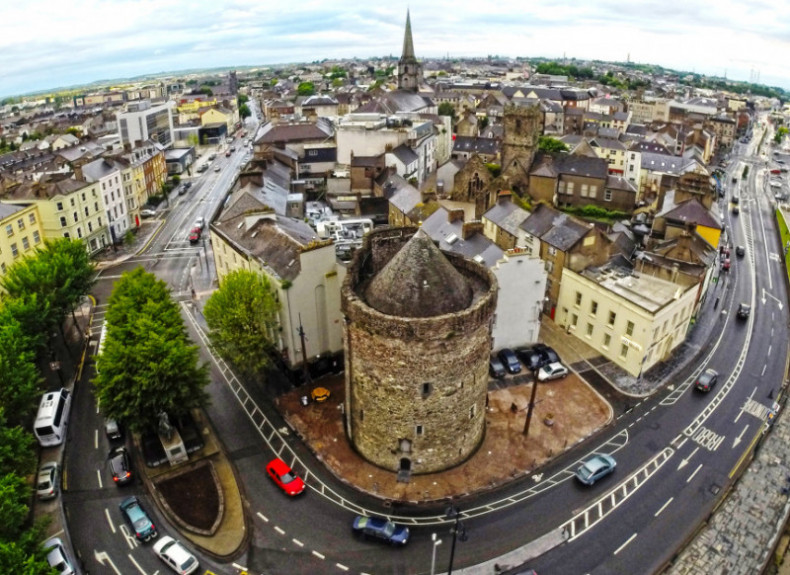 Embanked enclosureFairy fort / ringfort · 294 yd
 Perry's BridgeOfficially recorded historic building · 1527 yd
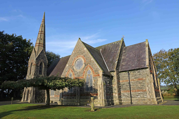 St, Brigets Church (in ruins)Church · 1591 yd
 Cullen Castle (in ruins)Castle, tower house · 1.3 mi
 Sugar Loaf RockMountain / peak · 1.5 mi
 Tourist InformationVisitor information · 2.5 mi
 Tramore Dunes WalkWalking route · 2.6 mi
 Cannon GunBattlefield · 2.8 mi
 Doneraile WalkWalking route · 2.8 mi
 Mote or TumulusCastle, motte · 3.1 mi