What is recorded here
Excavation in County Longford exposed a long trench and buried fence lines beside a burial ground. The digging reached through soil and memory to reveal the shape of a forgotten town. What was hidden under grass and time came forward as a clear line in the earth. The place stopped being empty and became a witness.
Archaeological test excavations in 1996 to the S of a burial ground (LF009-023002-) exposed linear features, including a trench (L c. 24m) which supported wooden stakes or posts (Carroll 1997, 72). The linear features were interpreted by the excavator as the remnants of post-medieval fences that could possibly have been related to the 17th-century settlement of the town (see LF009-023----).
Compiled by: Patrick F. O'Donovan
Date of upload: 25 February 2013
The monument record does not grant public access. Check the route and ask the landowner before entering private land.
- What survives
- Recorded monument
Places near here
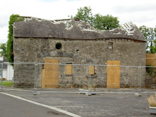 Ballinalee Masonic Hallmasonic lodge/hall · 21 yd
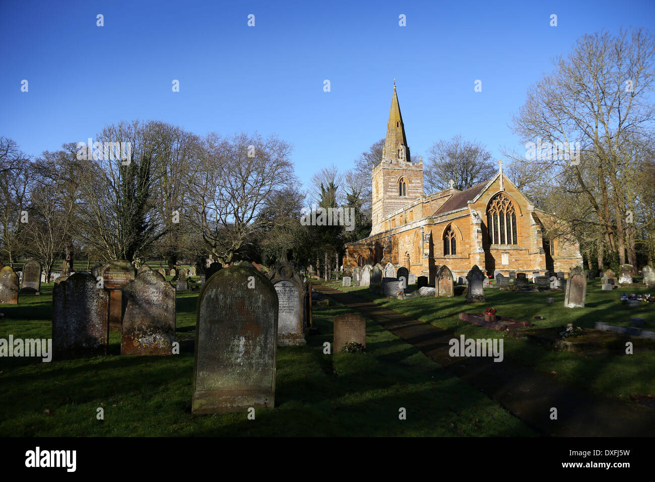 Grave YardBurial ground · 46 yd
 Bully's Acregraveyard/cemetery, unknown · 88 yd
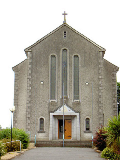 Catholic Church of the Holy Trinitychurch/chapel · 158 yd
 Cultivation ridges in Ballinalee OR SaintjohnstownCultivation ridges · 377 yd
 Bawn in CurrycahillBawn · 418 yd
 Ballinalee Forest WalkForest · 599 yd
 Cloonfin WoodForest · 2.6 mi
 Clonfin Ambush MemorialMemorial · 3.2 mi
 Moat & CastleCastle, motte and bailey · 3.4 mi
 InchmoreIslet · 5.0 mi
 Granard MotteMotte-and-bailey castle remains · 6.5 mi