What is recorded here
Fairy fort / earthen ringfort in Eskragh is a fairy fort or earthen ringfort in Eskragh, County Sligo, Ireland. The D-shaped enclosure measures 36.2m north-south and 32.6m east, bounded by a 3.6m wide earthen bank rising 1.25m internally. A 4m wide boggy fosse appears along the south-east and north-east edges, while field boundaries extend outward from the rath in four directions. Another rath lies 100m to the west-northwest.
In pasture, on a low rise. A slightly raised D-shaped area (dims. 36.2m N-S; 32.6m to E) enclosed by a flat-topped earthen bank (Wth 3.6m; int. H 1.25m; ext. H 1.4m). An external flat-bottomed boggy fosse (Wth 4m; D 0.9m) is evident SSE-NE. Bank linear along W and N sides where field boundaries (on N-S and E-W axes) are adjacent to W and N. Other field boundaries extend from the rath to NE, E, SE and SW. The edge of the rath is covered with overgrowth. A rath (SL037-074001-) lies c. 100m to WNW.
The above description is derived from the published 'Archaeological Inventory of County Sligo' compiled by Ursula Egan, Elizabeth Byrne, Mary Sleeman with Sheila Ronan and Connie Murphy (Dublin Stationery Office, 2005).
Date of upload: 18 January 2008
The monument record does not grant public access. Check the route and ask the landowner before entering private land.
- What survives
- Recorded monument
Places near here
 IndicatedFairy fort / earthen ringfort · 1.2 mi
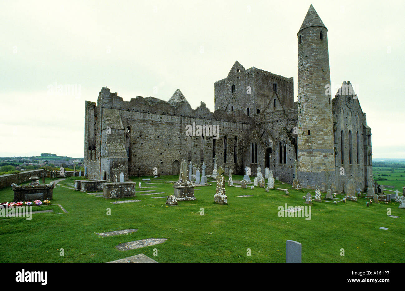 Indicated (1838).Fairy fort / earthen ringfort · 1.3 mi
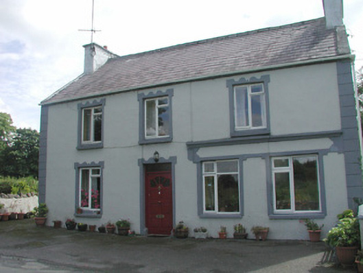 Banada Househouse · 1.5 mi
 water pumpwater pump · 1.6 mi
 Castle (Site of)Castle, unclassified · 1.7 mi
 Ballyara Castle (in Ruins)Castle, unclassified · 1.8 mi
 Old Cave Burial GroundArchaeological place · 4.7 mi
 Tawnyart WoodWood · 4.7 mi
 Muckelty HillMountain / peak · 4.9 mi
 New WoodWood · 5.0 mi
 Lough Talt TrailVisitor information · 7.0 mi
 Largan HillMountain / peak · 8.1 mi