What is recorded here
Lisnapreaghan is a rare flat-topped ringbarrow in County Mayo, where a broad walkway circles a damp grass interior instead of rising like a common fort. Hawthorn and beech cling to its slopes while rushes soften the centre, creating a quiet chamber that may have hosted ritual before human hands changed its shape. The place still holds the possibility of ancient ceremony beneath its ordinary pasture appearance.
Located in level, lowlying, poorly-drained pasture. Views are restricted by tree-lined field boundaries.
This enclosure is named ‘Lisnapreaghan’ on the 1838 and 1930 OS 6-inch maps. Circular area (25.5m NW–SE; 25.8 NE–SW), not noticeably raised, enclosed by two shallow, flat-bottomed fosses (Wth 1.4-1.7m; D 0.3-0.45m) with an broad, flat-topped, intervening bank (Wth 5.3m, top 3.1-3.9m; int. H 0.85-1m; ext. H 0.95-1.1m). The bank appears uniform in width and height around its circuit, and both the inner and outer faces are cut quite vertically; the flat top of the bank appears almost like a raised encircling path.
There is a gap (Wth 1.1m) at SSE, partly blocked at its outer edge by upcast from a later field ditch which merges with the external fosse at this point.
The two fosses are similar in size and form, but the external fosse merges with field ditches bordering field banks which radiate at NW, N and S–SSE from the enclosure.
The interior is level, rather soft and damp underfoot and is covered with grass and rushes. The bank is ringed with hawthorn, beech, sycamore, ash and hazel, which grow on the slopes of the bank but not on the top.
This is an unusual enclosure. Except in size, it does not conform to the morphology of ringforts in this area, which mostly have an interior raised above surrounding field level. The internal fosse suggests a ritual function, and it may a ringbarrow or henge-type monument. However, the vertical sides of the bank and the merging of field ditches with the external fosse point to relatively recent modification, probably for drainage purposes or possibly adaptation as a tree-ring.
Compiled by: Jane O'Shaughnessy
Date of upload: 20 December 2022
The monument record does not grant public access. Check the route and ask the landowner before entering private land.
- What survives
- Recorded monument
Places near here
 IndicatedFairy fort / earthen ringfort · 835 yd
 Knocknaglogh FortFairy fort / ringfort · 1273 yd
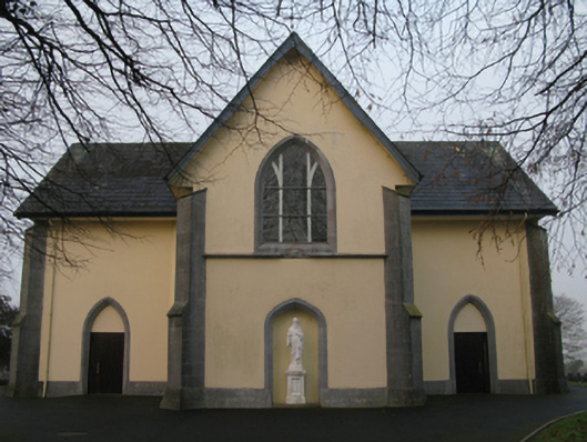 Saint Joseph's Catholic Churchchurch/chapel · 1440 yd
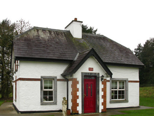 Castlemacgarrettgate lodge · 1593 yd
 Bawn in Castlemagarretpark OldBawn · 1659 yd
 CastlemagarretCastle · 1671 yd
 Oak WoodForest · 1.1 mi
 Geoffrey's WoodForest · 1.1 mi
 Land of the GiantsHeritage attraction · 3.1 mi
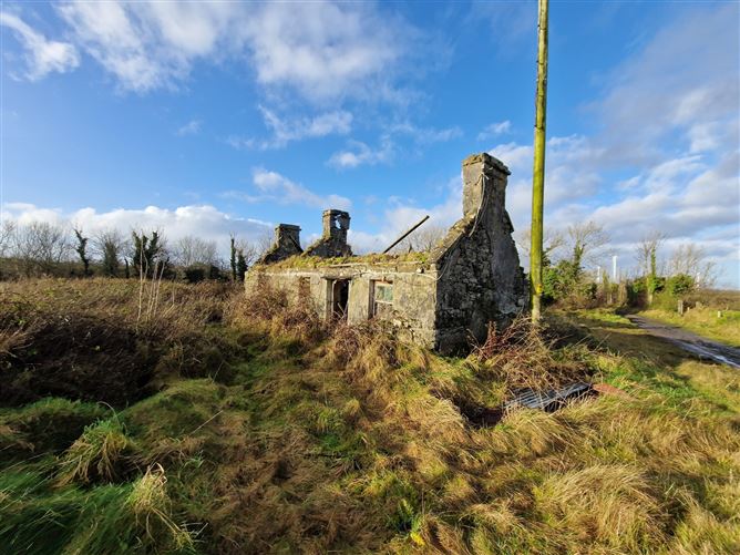 Enclosure in Ballindine NorthEnclosure · 1326 yd
 Enclosure in Castlemagarretpark NewEnclosure · 1420 yd
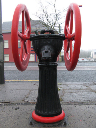 water pumpwater pump · 1664 yd