
What is recorded here
Indicated is a fairy fort on a Cavan drumlin, a grassy circle twenty-nine metres across with a broken western bank and a hidden eastern drain. It appeared as a fort on early maps but became a small copse later, suggesting people stopped fearing the fairies and began taking wood instead. The two gaps may have been doors for humans or exits for something quicker and less honest.
Situated on top of a drumlin. It is depicted as an embanked enclosure described as a 'Fort' on the 1835 edition of the OS 6-inch map and as a small circular copse on the 1908 edition. This is a raised circular and grass-covered area (diam. 29.2m) defined by an earthen bank (at SW: Wth 1.7m; int. H 0.6m; ext. H 1.2m) and hedge, with an outer fosse or drain at NE. There are two breaks in the bank at W (Wth 6m; 2m) leading into a path between earthen banks and hedges that extends off to the SW.
Compiled by: Michael Moore
Date of upload: 30 September 2020
The monument record does not grant public access. Check the route and ask the landowner before entering private land.
- What survives
- Recorded monument
Places near here
 Errigal RingfortArchaeological place · 302 yd
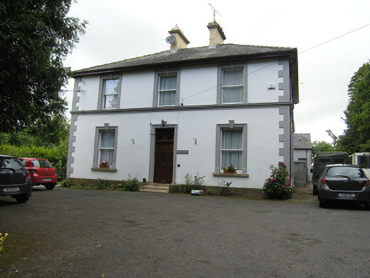 Montfort ManseOfficially recorded historic building · 497 yd
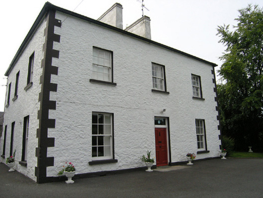 Cabragh Househouse · 701 yd
 CastleCastle, unclassified · 1031 yd
 Claragh WoodForest · 1310 yd
 Cabragh RingfortArchaeological place · 1.0 mi
 Cordoagh Glebe Upper ForestForest · 1.0 mi
 Brown's HillMountain / peak · 1.2 mi
 CorickMountain / peak · 1.7 mi
 Site of Old CastleCastle, unclassified · 2.1 mi
 Graveyard in Drumgoon (clankee By.)Graveyard · 2.9 mi
 Giant's GraveArchaeological place · 4.2 mi
Other information
Photo: Credit not shown in the picture search · Rights wording not checked; contact us if this picture should be removed