
What is recorded here
In tillage. A large roughly circular enclosure (diam. c. 73m), the fosse of which was identified as a cropmark on aerial photographs (ASIAP (39) 21-23, 25). On the 1st (1840) ed. OS 6-inch map a N-S tree-lined avenue (Wth c. 20m), associated with St Johnstown Castle, is depicted. Though the enclosure is not indicated on the map, the avenue appears to traverse where the enclosure is located. A stream is depicted on this map, running E-W c. 50m to the N.
See attached:
TS062-162----_01 ASIAP (39) 23
TS062-162----_02 ASIAP (39) 25
Compiled by: Jean Farrelly
Date of upload: 13 March 2023
The monument record does not grant public access. Check the route and ask the landowner before entering private land.
- What survives
- Recorded monument
Places near here
 Saint Johnstown CastleCastle · 368 yd
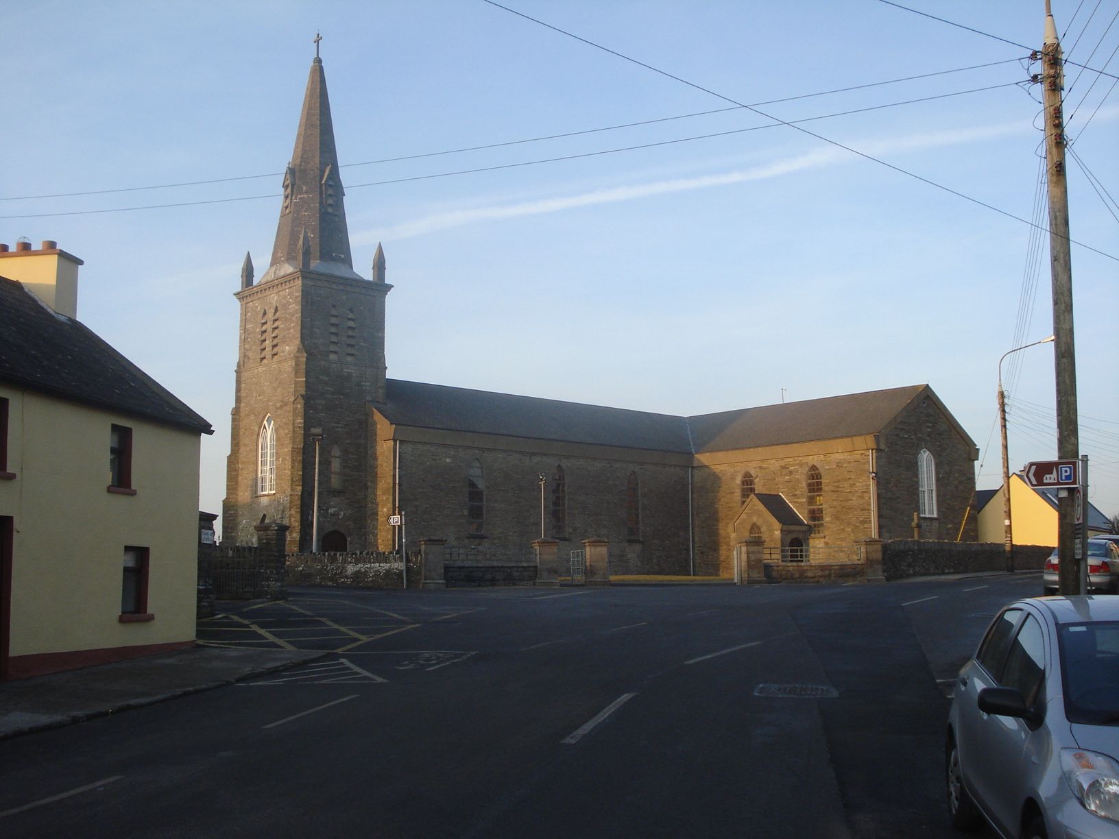
 St. Johnstown ChurchChurch · 465 yd
 Enclosure in Milltown St. JohnEnclosure · 811 yd
 Enclosure in Lismoynan,st. JohnstownEnclosure · 855 yd
 Church in ruins, Grave YardChurch · 1222 yd
 CastleCastle, unclassified · 1645 yd
 Eagle HillMountain / peak · 2.2 mi
 Kilknockan HillMountain / peak · 2.7 mi
 East GateMemorial · 3.9 mi
 European YewEuropean Yew · 4.0 mi
 Pedunculate OakPedunculate Oak · 4.8 mi
 Gift Horse GalleryGallery · 8.2 mi
Other information
Photo: Credit not shown in the picture search · Rights wording not checked; contact us if this picture should be removed