What is recorded here
Located at the W end of a slight rise in a fairly level landscape. The cropmark of an oval enclosure (ext. dims c. 80m E-W; c. 60m N-S) defined by a fosse or ditch is visible on OSI aerial images (2000). There are traces of internal ditches visible in interrupted sections, and much of the interior is occupied by what might be rock outcrop close to the surface. The Man-made underground passage (LH014-004----) is c. 30m outside the E boundary of the enclosure at E. It was first reported by Jean Charles Caillere.
See the attached enhanced aerial view from OSI (2000)
Compiled by: Michael Moore
Date of upload: 3 June 2020
The monument record does not grant public access. Check the route and ask the landowner before entering private land.
- What survives
- Recorded monument
Places near here
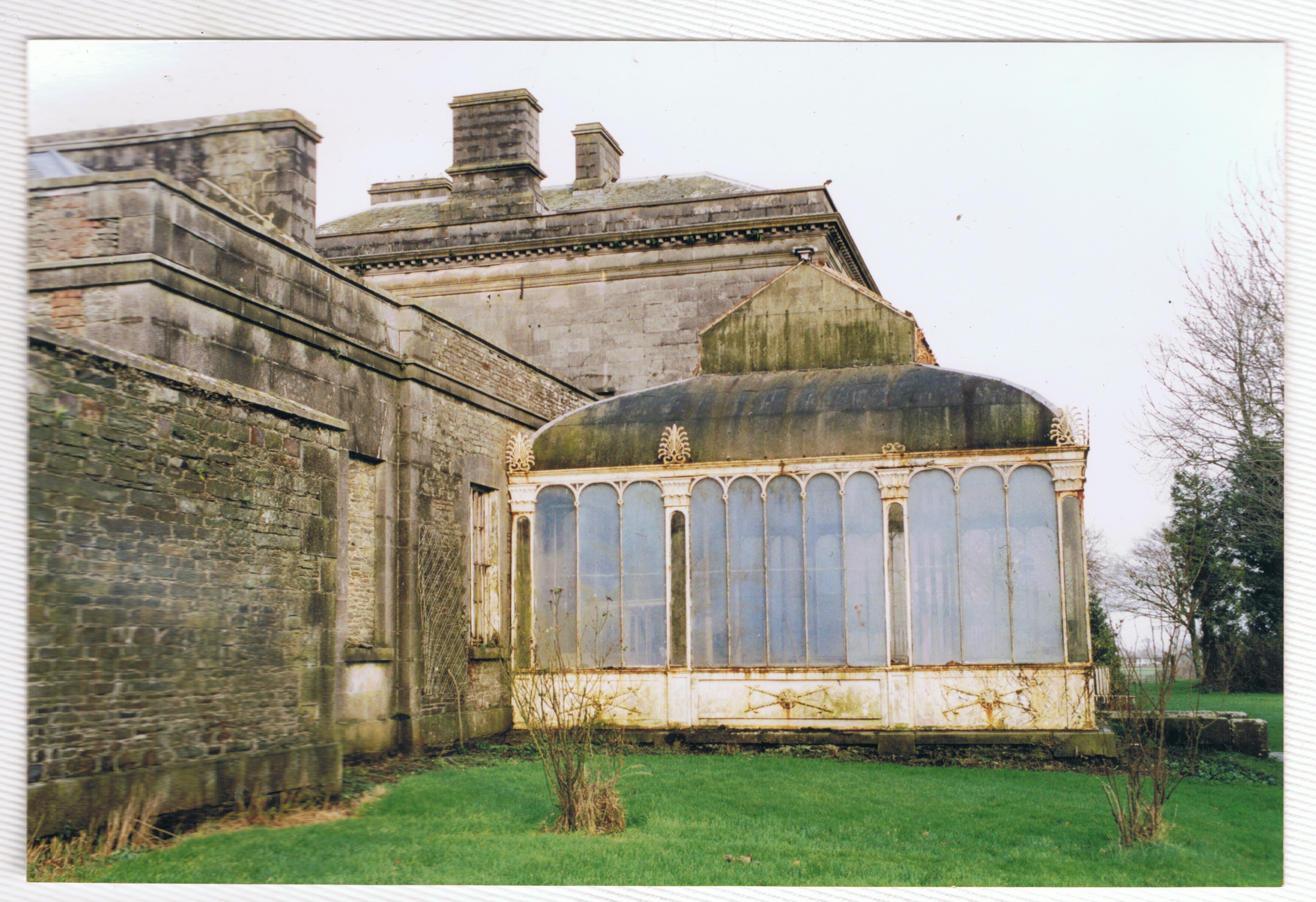 Enclosure in Louth HallEnclosure · 240 yd
 Enclosure in RathbodyEnclosure · 546 yd
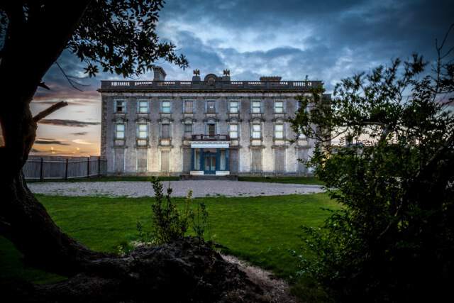
 Louth HallCastle, tower house · 1130 yd
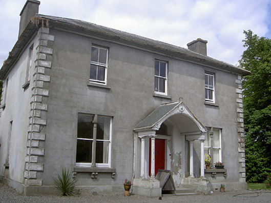 Arthurstown Housepresbytery/parochial/curate's house · 1189 yd
 Catholic Church of Saint Peter and Saint Paulchurch/chapel · 1670 yd
 MoatCastle, motte and bailey · 1704 yd
 Long PlantationForest · 1.2 mi
 SycamoreSycamore · 1.3 mi
:no_upscale()/cdn.vox-cdn.com/uploads/chorus_asset/file/25593391/County_Louth_6th.jpg) LouthMountain / peak · 2.8 mi
LouthMountain / peak · 2.8 mi Flat cemetery in AnnaheanFlat cemetery · 3.6 mi
 Sir Frederick Foster MemorialMemorial · 3.9 mi
 Matthew's HillMountain / peak · 4.1 mi