What is recorded here
Situated at the top of a SE-facing slope overlooking the NE-SW River Bann with the stream c. 700m to the SE. The cropmark of a subrectangular enclosure (dims. c. 100m N W-SE; c. 110-160m NE-SW) defined by a single ditch feature is visible on aerial photograph (CUCAP: BGF022-023). The enclosure appears to be confined within the bounds of an existing quadrilateral field and relating closely to its boundaries. It is probably a small enclosed wood and post-medieval in date.
Compiled by: Michael Moore
Date of upload; 30 April, 2012
The monument record does not grant public access. Check the route and ask the landowner before entering private land.
- What survives
- Recorded monument
Places near here
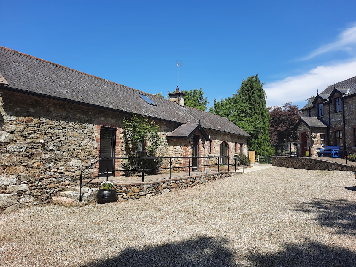 Ladys WellHoly well · 532 yd
 CastleCastle, unclassified · 598 yd
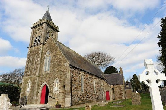 IndicatedFairy fort / ringfort · 900 yd
 Father John Murphy Monumentmonument · 1299 yd
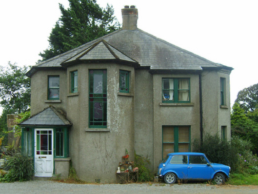 Knockardaghhouse · 1305 yd
 Ferns Castle (in ruins)Castle, Anglo-Norman masonry castle · 1353 yd
 Coolroe WoodForest · 1.9 mi
 Coolpuck WoodForest · 2.0 mi
 Giants BedNamed rock · 4.7 mi
 Milshoge RockMountain / peak · 4.7 mi
 Father Murphy CentreHeritage attraction · 4.8 mi
 Oulart HillMountain / peak · 6.5 mi