What is recorded here
Located in the little valley of a NW-SE stream, on the NE bank of the stream. It is described as 'Lady's Well' in Gothic script on the 1839 and 1924 eds of the OS 6-inch map. It was described in the 1940s as a stone-lined spring (SMR file), but there is no evidence that it was ever venerated and it does not survive.
Compiled by: Michael Moore
Date of upload: 30 April, 2012
Linked to a local tradition of the "Lady," potentially a saintly or supernatural figure, the well may have been a site of pilgrimage or healing rituals. The use of "Lady's Well" suggests a possible Christianization of an earlier pagan water cult or fertility rite.
The monument record does not grant public access. Check the route and ask the landowner before entering private land.
- What survives
- Recorded monument
Places near here
 IndicatedFairy fort / ringfort · 738 yd
 CastleCastle, unclassified · 762 yd
 Ecclesiastical enclosure in CloneEcclesiastical enclosure · 1273 yd
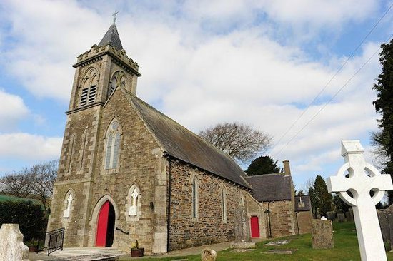
 Clone Church (in ruins)Church · 1289 yd
 Doran's Bridgebridge · 1459 yd
 Ferns Castle (in ruins)Castle, Anglo-Norman masonry castle · 1.1 mi
 Coolroe WoodForest · 2.2 mi
 Coolpuck WoodForest · 2.3 mi
 Father Murphy CentreHeritage attraction · 4.7 mi
 Giants BedNamed rock · 4.8 mi
 Milshoge RockMountain / peak · 4.9 mi
 U.N. Peace MemorialMonument · 5.7 mi
Other information
Photo: Credit not shown in the picture search · Rights wording not checked; contact us if this picture should be removed