
What is recorded here
Marked faintly as a circular feature (diam. c. 30m) on the 1840 ed. of the OS 6-inch map, and situated on the E bank of a SE-NW stream c. 200m SE of where it joins the River Suir. It is not visible at ground level, and farm buildings now occupy the site. Enclosure (WA009-006003-), which may be the correct location for this feature, is c. 70m to the NE.
The above description is derived from the published 'Archaeological Inventory of County Waterford' (Dublin: Stationery Office, 1999). In certain instances the entries have been revised and updated in the light of recent research.
Date of upload/revision: 03 February 2011
Compiled by: Michael Moore
The monument record does not grant public access. Check the route and ask the landowner before entering private land.
- What survives
- Recorded monument
Places near here
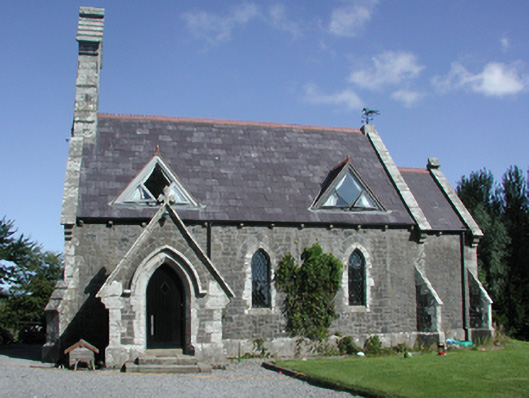 Killoteran Churchchurch/chapel · 246 yd
 Viking settlement siteArchaeological place · 380 yd
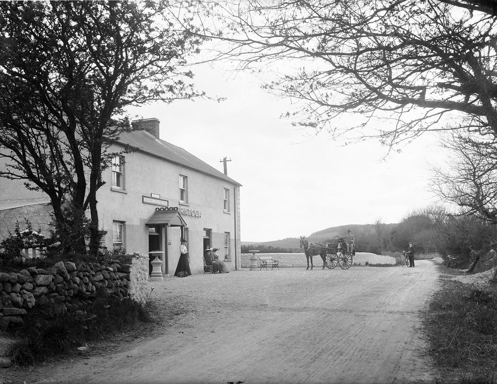 Kiln in Woodstown (middlethird By., Killoteran Par.)Kiln · 431 yd
 Fulacht fia in Bawnfune (gaultiere By., Lisnakill Par.)Fulacht fia · 996 yd
 Mount Congreve GardensHeritage attraction · 1451 yd
 Native Irish Tree TrailWood · 1494 yd
 Monterey CypressMonterey Cypress · 1.1 mi
 Corluddy Castle (in Ruins)Castle, tower house · 1.4 mi
 CastleCastle, unclassified · 1.5 mi
 Waterford & Suir Valley RailwayHeritage attraction · 2.1 mi
 Sugar Loaf RockMountain / peak · 2.6 mi
 St. Martin's WellSpring · 7.1 mi
Other information
Photo: Credit not shown in the picture search · Rights wording not checked; contact us if this picture should be removed