What is recorded here
Enclosure in Woodlands East was an irregular, incomplete curvilinear boundary marked only by a shallow fosse and faint crop shadows when Dr. Gillian Barrett photographed it in 1991. It lay immediately south of another enclosure and a ring-ditch, forming a small cluster of forgotten shapes in County Kildare. Quarrying erased them between 2000 and 2005, removing even the suggestion that people had once drawn a line around life, death, memory or merely a field.
Identified during an aerial photographic survey by Dr. Gillian Barrett in 1991. Aerial photograph (GB91.DX.38) shows the cropmark of an irregular and incomplete curvilinear enclosure defined by a fosse. Located immediately south of another curvilinear enclosure (KD038-067----) and a ring-ditch (KD038-068----). All the monuments were plough-levelled when photographed, but have been destroyed by quarrying sometime between 2000 and 2005.
Compiled by: Dr. Gillian Barrett
Date of upload: 12 December 2011
The monument record does not grant public access. Check the route and ask the landowner before entering private land.
- What survives
- Recorded monument
Places near here
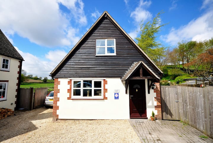 Enclosure in Woodlands EastEnclosure · 98 yd
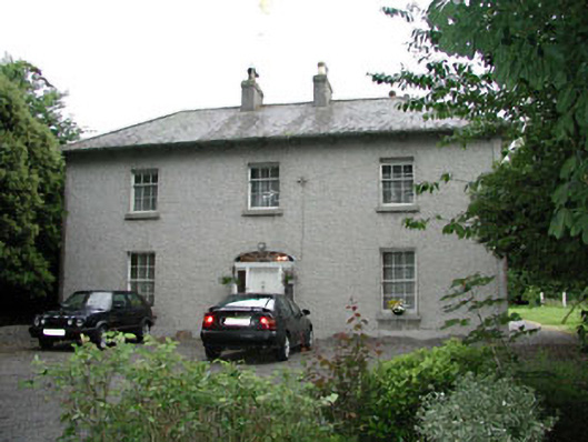 Woodlandshouse · 426 yd
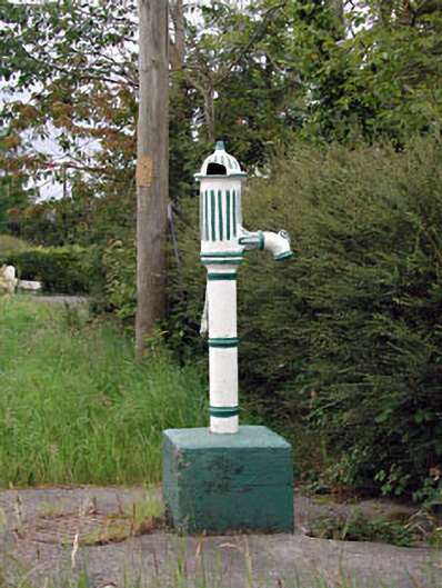 water pumpwater pump · 1166 yd
 ProclamationMemorial · 1243 yd
 St. Johns WellHoly well · 1485 yd
 Franciscan FriaryHeritage attraction · 1634 yd
 Castledermot Round TowerHeritage attraction · 1643 yd
 Lorcán Ó TuathailMemorial · 1.5 mi
 CastleCastle, ringwork · 1.5 mi
 Mullaghreelan WoodForest · 1.6 mi
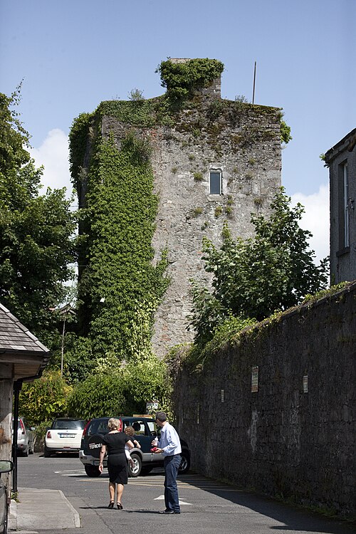 Kyledrumman Castle (in ruins)Castle, unclassified · 1.9 mi
 European ashEuropean ash · 3.3 mi