What is recorded here
Located on the floodplain on the S bank of a SW-NE section the River Boyne, and at the bottom of a slope down from the Redmountain ridge. The cropmarks of three enclosures defined by fosses placed close together and connected by further drains are visible on Apple Maps, which utilises a survey conducted by Bluesky International conducted during June 2018. This oval enclosure (int. dims c. 37m ENE-WSW; c. 25m NNW-SSE) is defined by a fosse (Wth c. 2-3m) which almost touches that of (ME020-090001-) immediately to the NW, but its fosse is very slight NE-SW. It was first reported by Anthony Murphy.
See the attached enhanced view from Apple Maps
Compiled by: Michael Moore
Date of upload: 31 January 2020
The monument record does not grant public access. Check the route and ask the landowner before entering private land.
- What survives
- Recorded monument
Places near here
 Brú na Bóinne Visitor Centre AccessHeritage attraction · 375 yd
 Brú na Bóinne Visitors CentreVisitor information · 594 yd
 Brú na Bóinne Visitor Centreheritage centre/interpretative centre · 618 yd
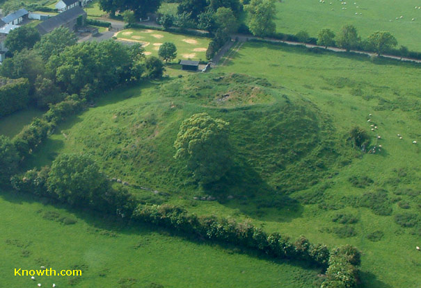 Concentric enclosure in DowthConcentric enclosure · 692 yd
 St. Bernards WellHoly well · 777 yd
 DowthNeolithic passage tomb · 802 yd
 Church (in Ruins)Church · 819 yd
 Dowth CastleCastle, tower house · 844 yd
 Glenmore ForestWood · 1424 yd
 Proudfootstown CastleCastle, unclassified · 1.3 mi
 European YewEuropean Yew · 1.9 mi
 Battle of the BoyneMajor battlefield · 2.0 mi