What is recorded here
On poorly drained partially reclaimed grassland. Ringfort (TN037-026----) 135m to NE. Outline of circular-shaped area (approx. diam. 20m) enclosed by low bank and outer ditch visible on Digital Globe aerial imagery taken 2011-13.
Compiled by: Caimin O’Brien
Date of upload: 4 June 2020
The monument record does not grant public access. Check the route and ask the landowner before entering private land.
- What survives
- Recorded monument
Places near here
 Outlined, KnockaunnamoughillyEnclosure, large enclosure · 1380 yd
 TobergalHoly well · 1454 yd
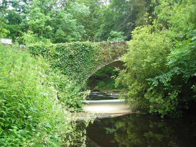 Clare Bridgebridge · 1546 yd
 Site of Derryleigh CastleCastle, unclassified · 1584 yd
 Ashroe Househouse · 1.5 mi
 Castle WellerCastle · 1.8 mi
 Slieve Felim WayWalking route · 2.7 mi
 Sliev Felim WayVisitor information · 3.0 mi
 Slieve FelimMountain / peak · 3.2 mi
 Slieve Felim East TopMountain / peak · 4.3 mi
 Graveyard in AbingtonGraveyard · 4.4 mi
 Ballyhourigan WoodsForest · 5.0 mi