What is recorded here
This ruined stone enclosure, not marked on the OS maps, is situated close to a stream on a small level shelf on the SW slopes of Letter South mountain. It affords an extensive view along a small river valley to Kenmare Bay at S. It comprises a subcircular area, 10.6m N-S x 11.1m E-W, which is enclosed by a much collapsed drystone wall. The wall is 1.7m wide and .7m high internally but its external face is obscured by collapse and overgrowth. It is constructed of horizontal courses of block-like slabs with intermittent uprights and slabs set on edge. A possible entrance is located at SE, marked on its N side by two uprights. Its S side is severely eroded and ill-defined. The poorly preserved remains of two possible huts are located in the SE sector of the site's interior. The structures measure 3m (KE092-006003-) and 1.7m (KE0092-006004-) internally, and stand to an average height of .3m.
A number of walls (KE092-006----) and small enclosures in the vicinity of the site appear on an aerial photograph taken in 1973 (GSI V285/6). The walls abutting the site appear to be contemporary and of similar construction to its enclosing element, while those further afield are of more recent origin, as are the smaller enclosures.
The above description is derived from A. O'Sullivan and J. Sheehan (compilers), 'The Iveragh peninsula: an archaeological survey of South Kerry'. Cork University Press (1996), no. 766. In certain instances the entries have been revised and updated in the light of recent research.
Date of upload: 29 July 2013
The monument record does not grant public access. Check the route and ask the landowner before entering private land.
- What survives
- Recorded monument
Places near here
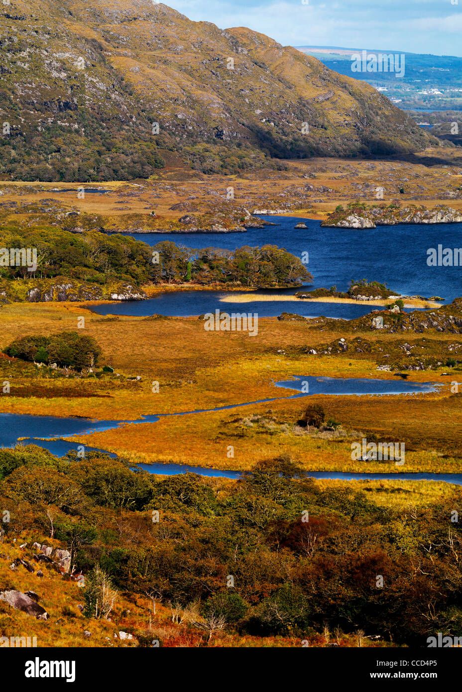 Field system in Lacka,rossacoosaneField system · 187 yd
 DooneenFairy fort / earthen ringfort · 298 yd
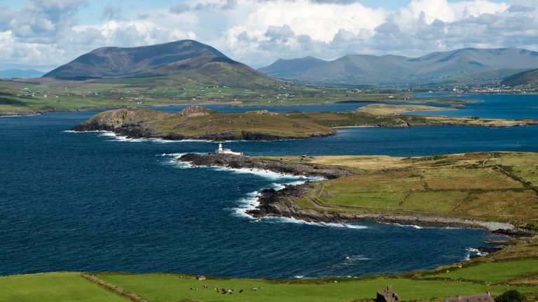 Letter SouthMountain / peak · 792 yd
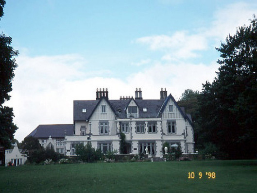 Dromquinna Manorcountry house · 1.9 mi
 Cappamore Br.Bridge · 2.3 mi
 Dunkerron CastleCastle · 2.3 mi
 Coss StrandBeach / strand · 2.4 mi
 BoughilMountain / peak · 2.4 mi
 Dunkerron Island WestIslet · 2.6 mi
 Dunkerron Island EastIslet · 2.6 mi
 Cappanacush Castle (ruins)Castle · 2.6 mi
 Moll's GapViewpoint · 2.9 mi