What is recorded here
Clear ditches and compacted soil still mark the SW annexe beside Roestown, funneling visitors toward the main entrance rather than hiding them. The inner arc curves from the southern fosse and stops short of the western annexe, creating a deliberate gap where people could enter. The outer arc survives in fragments, cut and recut across phases, but its shape remains visible enough to suggest movement, not mystery. What is missing is not the boundary or the direction of travel. Those are still written in the ground.
While the large enclosure, rath and burial ground are preserved under introduced soil in a green area all the available external area was excavated (15E0125) under the direction of S. McGlade in 2018-19 (excavations.ie 2019:474). A SW annexe is represented by two parallel arcs of ditches placed c. 15m apart, and the features within it probably do not relate to its use which may have been as an animal paddock adjacent to the SW entrance to the large enclosure. The inner arc (L c. 25m) extends from the fosse of the large enclosure at S and curves SW and NW but stops c. 13m S of the SW angle of the W annexe and thus funnels visitors towards a major likely entrance of the large enclosure. The arc of ditch (Wth 1.1-1.8m; D 0.43-0.8m) was in two sections and there was an entrance (Wth c. 5m) at the centre where it was cut by features relating to the S rectilinear annexe. The outer arc (L c. 30m plus) was shallow and partly rock-cut (Wth 0.75-1.2m; D 0.38-0.4m) and only survives in a fragmentary state. However, it truncated the earliest ditch of the S curvilinear annexe but was itself cut by the second phase of that annexe. The ditch of the third phase of the S curvilinear annexe did not intersect the outer ditch of the SW annexe but stopped short leaving an entrance gap (Wth 2.5m), which suggests that they may be contemporary. The outer arc is cut by the slot-trench of the possible barn, structure 21. (McGlade 2020, vol. 1, 237-242)
See the attached images from McGlade (2020 vol. 1, P 208, 257)
_1 Location:
_2 Plan of inner feature;
Compiled by: Michael Moore
Date of upload: 5 May 2022
The monument record does not grant public access. Check the route and ask the landowner before entering private land.
- What survives
- Recorded monument
Places near here
 Enclosure in Roestown (ratoath By.)Enclosure · 28 yd
 EnclosureEnclosure, large enclosure · 62 yd
 Dunshaughlin Civic Officesoffice · 728 yd
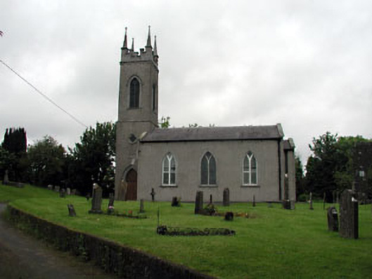 Saint Seachnall's Church (Dunshaughlin)church/chapel · 1064 yd
 Killeen CastleCastle, tower house · 2.1 mi
 Laurel WoodsWood · 2.9 mi
 Dunsany CastleCastle, unclassified · 3.0 mi
 Dunsany WoodWood · 3.1 mi
 Lismahon 1798 MemorialMonument · 3.8 mi
 Emerald ParkHeritage attraction · 4.3 mi
 Battle of Tara Hillbattle · 4.8 mi
 Battle of Tara (Ireland)Major battlefield · 4.8 mi