What is recorded here
On a gentle SW-facing slope in undulating grassland within a broad river valley. A rectangular enclosure (dims. 18m N-S; c. 35m E-W along N side; c. 30m E-W along S side) defined by a bank to N and S; by a steep slope to the E and to the W it runs up to an adjacent circular enclosure (KK003-018001-), the N bank running into the fosse in the N quadrant of the latter. The S bank is conjoined with another rectangular enclosure (KK003-018004-) immediately to the S. Below the latter enclosure are two other rectangular enclosures (KK003-018005-; KK003-018006-), also aligned E-W.
Compiled by: Jean Farrelly
Date of upload: 8 February 2016
The monument record does not grant public access. Check the route and ask the landowner before entering private land.
- What survives
- Recorded monument
Places near here
 Enclosure in RathreaghEnclosure · 46 yd
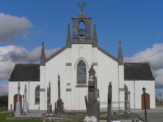 Catholic Church of the Immaculate Conceptionchurch/chapel · 67 yd
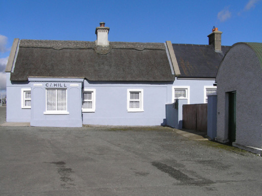 Cahillhouse · 172 yd
 IndicatedEnclosure · 563 yd
 Cnoc SeanrathaMemorial · 1.0 mi
 Grangefertagh Castle (site)Archaeological place · 1.1 mi
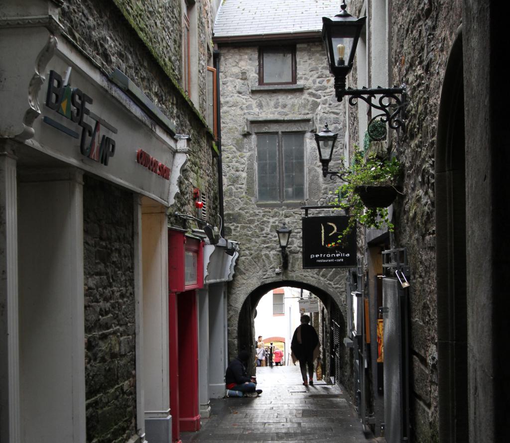 Bawn in WhiteswallBawn · 1.4 mi
 Street fieldArchaeological place · 2.2 mi
 DelaneyMemorial · 3.1 mi
 Clomantagh HillMountain / peak · 4.5 mi
 Big WoodWood · 5.1 mi
 Anker's IslandIsland · 8.9 mi