
What is recorded here
On a gentle SW-facing slope in undulating grassland within a broad river valley. A circular area (diam. 29m) largely enclosed by scarp with traces of an earthen bank (Wth c. 2m; int. H 1m) in the ESE and SW quadrants and outer fosse (Wth 3m; D 0.6m). The E quadrant of the interior is sub-divided by a bank running N-S from and to the edge of the scarp. There is a splayed causewayed entrance (Wth at top 1m; Wth at base 6m) in the S quadrant which slopes down from the interior. A low bank (Wth 1.5m; H 0.4m) runs N-S from the fosse, immediately W of the entrance, for a distance of 16m. Immediately E-SE of this enclosure are four rectangular enclosures (KK003-018003-; KK003-018004-; KK003-018005-; KK003-018006-) aligned E-W, the most northerly (KK003-018003-) runs up to the fosse of the circular enclosure, while an adjoining rectangular enclosure (KK003-018004-) immediately S of this abuts the fosse.
Compiled: Jean Farrelly
Date of upload: 3 February 2016
The monument record does not grant public access. Check the route and ask the landowner before entering private land.
- What survives
- Recorded monument
Places near here
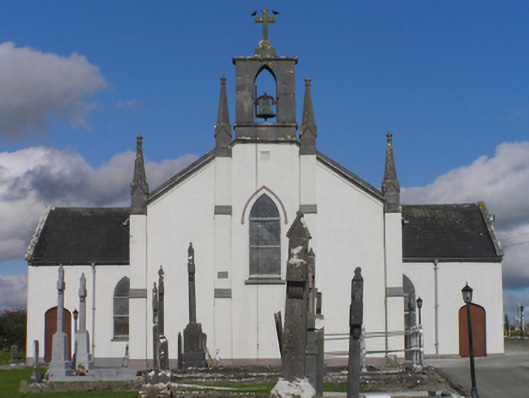 Catholic Church of the Immaculate Conceptionchurch/chapel · 86 yd
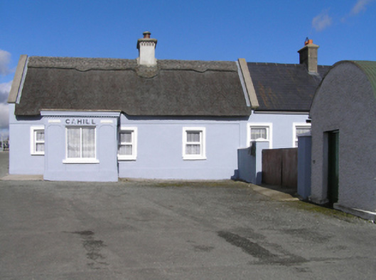 Cahillhouse · 173 yd
 IndicatedEnclosure · 568 yd
 RathbaneConcentric enclosure · 953 yd
 Cnoc SeanrathaMemorial · 1.0 mi
 Grangefertagh Castle (site)Archaeological place · 1.1 mi
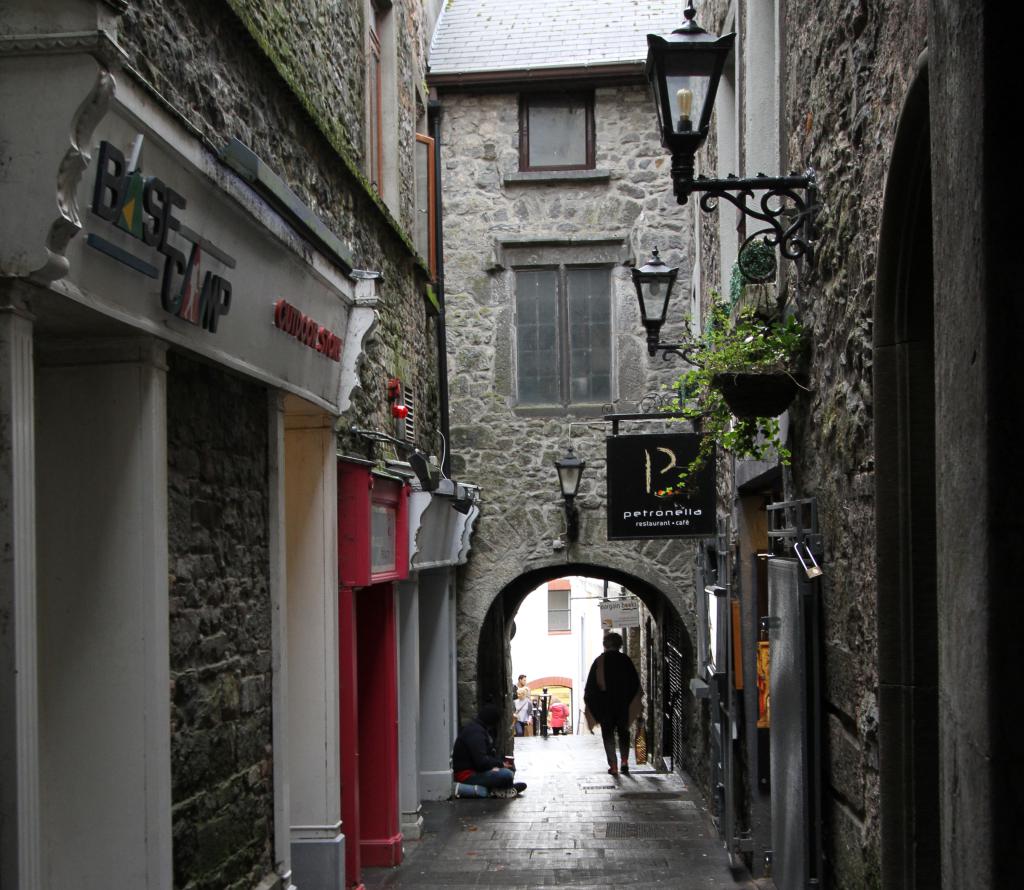 Bawn in WhiteswallBawn · 1.4 mi
 Street fieldArchaeological place · 2.2 mi
 DelaneyMemorial · 3.1 mi
 Clomantagh HillMountain / peak · 4.5 mi
 Big WoodWood · 5.1 mi
 Anker's IslandIsland · 8.9 mi
Other information
Photo: Credit not shown in the picture search · Rights wording not checked; contact us if this picture should be removed