What is recorded here
In level tillage. Shown on the 1st ed. (1839) of the OS 6-inch map as a large roughly oval enclosure (est max diams.7c. 65m E-W; 50m N-S). Internally, the site is shown as more figure-of-eight in plan, suggesting two conjoined enclosures, and this is reflected in the cropmarks visible in high altitude aerial photographs (GSI N 222, 223) which show a circular enclosure at W (KD031-004001-) with a cresentic-shaped annexe attached at E. No visible surface traces survive. Similar features (KD031-005001- and KD031-005002-) are visible on an aerial photograph in Boley Great townland.
Compiled by: Gearóid Conroy
Date of upload: 01 October 2013
The monument record does not grant public access. Check the route and ask the landowner before entering private land.
- What survives
- Recorded monument
Places near here
 Enclosure in RathconnellwoodEnclosure · 29 yd
 Fuaran WellHoly well · 1700 yd
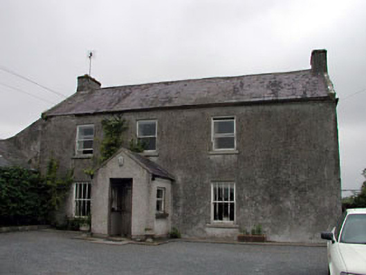 Gorteen Housefarm house · 1.3 mi
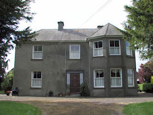 farm housefarm house · 1.3 mi
 Derryvullagh IslandForest · 1.5 mi
 Site of CastleCastle, unclassified · 2.1 mi
 Brookfield WoodWood · 3.0 mi
 Ardscull MoatCastle, motte · 3.2 mi
 History of Moat of ArdscullVisitor information · 3.2 mi
 Gorden Bennet Race memorialMemorial · 3.3 mi
 Battle of Kilrushbattle · 3.7 mi
 Burtown House and GardensHeritage attraction · 5.8 mi