
What is recorded here
In grassland situated on a NE-facing slope of rising ground in upland region with good views to N and E, overlooked by higher ground to W. Barley visible traces of shallow fosse (base Wth 2m; top Wth 4.5m; ext. D 0.2m) visible from E to S only with the slightest suggestion of a levelled enclosure visible as a low rise of ground enclosing a sunken circular area (diam. 38m N-S; 45m E-W). A sketch plan and sections drawn in 1954 show a roughly circular area (overall diam. 154ft [c. 47m] N-S; 206ft [c. 63m] E-W) defined by scarp with an outer fosse from ENE-E-SE (OS Field Memorandums). Described as an enclosure which was levelled around 1965 (Cahill 1982, vol. 2).
Compiled by: Jean Farrelly
Date of upload: 26 August 2011
The monument record does not grant public access. Check the route and ask the landowner before entering private land.
- What survives
- Recorded monument
Places near here
 Black FortFairy fort / earthen ringfort · 842 yd
 Ballykelly Church (in Ruins)Church · 844 yd
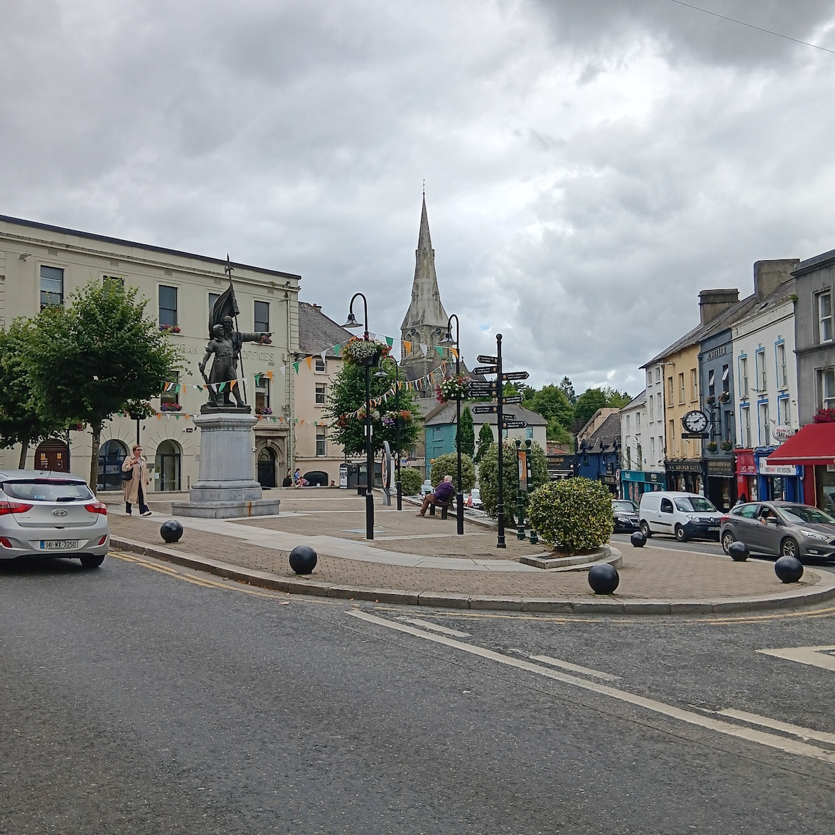 Enclosure in MarshalstownEnclosure · 845 yd
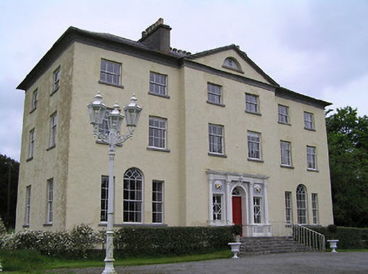 Ballyowen Housecountry house · 1043 yd
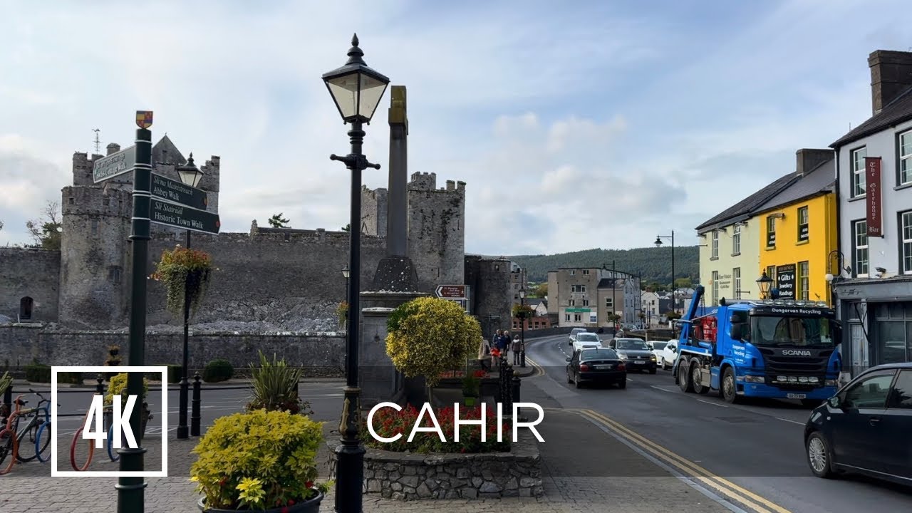 Bawn in ErryBawn · 1639 yd
 Gortmakellis CastleCastle · 1.4 mi
 Ballyknock HillMountain / peak · 2.1 mi
 Rock of CashelHeritage attraction · 3.3 mi
 Cormac's ChapelHeritage attraction · 3.3 mi
 The Rock Of CashelVisitor information · 3.3 mi
 Black mulberryBlack mulberry · 3.4 mi
 Killough Hill (site of)Mountain / peak · 3.8 mi
Other information
Photo: Credit not shown in the picture search · Rights wording not checked; contact us if this picture should be removed