
What is recorded here
Tillage field, showing a variety of cropmarks on aerial photographs (OSI 2012 Orthoimagery, 2018 Icon Imagery, Digital Globe/Bing Imagery). Large oval enclosure c. 77m N-S x 140m E-W with curvilinear elements in rest of field suggesting a possible field system.
Compiled by: Matt Kelleher
Date of upload/revision: 7 March 2022
The monument record does not grant public access. Check the route and ask the landowner before entering private land.
- What survives
- Recorded monument
Places near here
 Burnt spread in KilmichaelBurnt spread · 278 yd
 Fulacht fia in KilmichaelFulacht fia · 318 yd
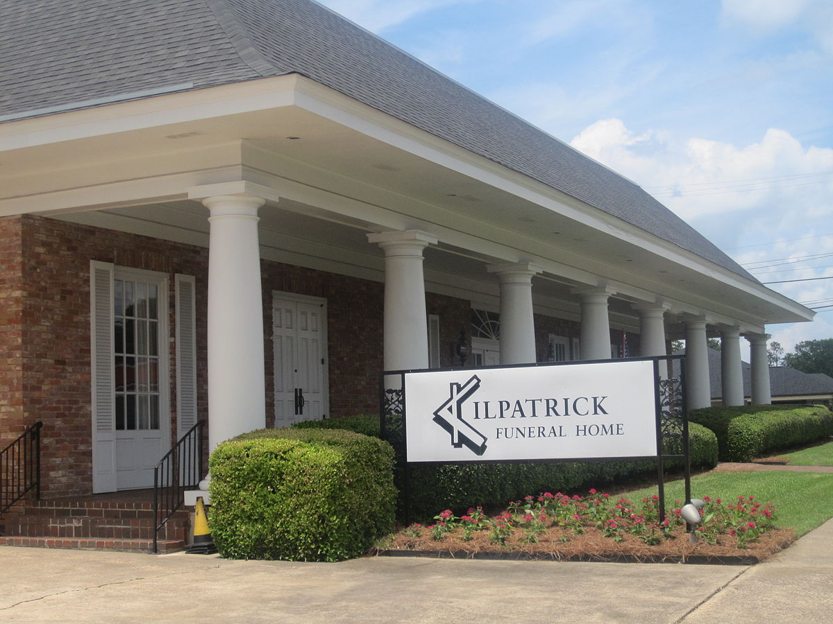 Kilpatrick HouseCountry house · 612 yd
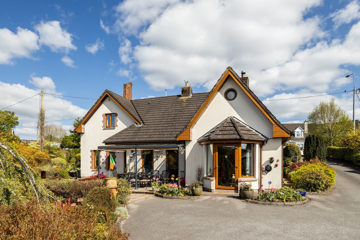 Ballythomas HouseCountry house · 1103 yd
 CastleBawn · 1.3 mi
 Lohort CastleCastle, tower house · 1.6 mi
 Dromaneen CastleHeritage attraction · 1.8 mi
 Graveyard in Ballygiblin (duhallow By.)Graveyard · 2.6 mi
 European YewEuropean Yew · 4.0 mi
 In loving memory of Elvis O'DonoghueMemorial · 4.2 mi
 Burial ground in AssolasBurial ground · 4.2 mi
 Mount HillaryMountain / peak · 4.7 mi
Other information
Photo: Credit not shown in the picture search · Rights wording not checked; contact us if this picture should be removed