What is recorded here
Situated on a slight S-facing slope in gently undulating pasture. Not marked on any edition of the OS 6-inch map. Slightly raised oval area (dims. 10m NW-SE; 7.5m NE-SW) enclosed by a bank of earth and stone (Wth 5.4m; int. H 0.4m). No fosse visible. The bank appears to have been disturbed on all sides with dumps of field clearance earth and stone against the external face. Original entrance not recognisable.
Compiled by: Patrick F. O'Donovan
Date of upload: 21 April 2011
The monument record does not grant public access. Check the route and ask the landowner before entering private land.
- What survives
- Recorded monument
Places near here
 Court tomb in GortnaleckCourt tomb · 438 yd
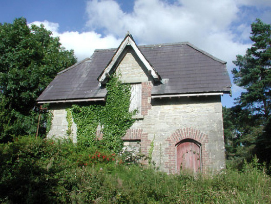 Benbulbin Old Schoolschool master's house · 664 yd
 Sweathouse in GortnaleckSweathouse · 1026 yd
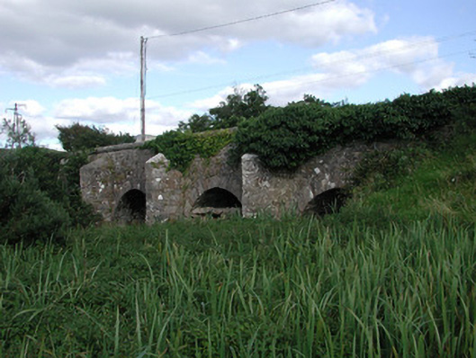 Ardnaglass Bridgebridge · 1276 yd
 CastleCastle, unclassified · 1.6 mi
 BenbulbenMountain · 1.7 mi
 BenbulbinMountain / peak · 1.7 mi
 InishnagorIslet · 2.2 mi
 Benwiskin South TopMountain / peak · 2.2 mi
 Atlantic SheepdogsHeritage attraction · 2.4 mi
 Connors IslandIsland · 2.5 mi
 Dermot & Grania's BedCave · 2.7 mi