
What is recorded here
In light deciduous wood on W bank of NNW-ESE orientated meandering stream. The sweathouse is built into a slight S-facing scarp overlooking the stream 12m to the S. Roughly circular structure (max. internal dims. top 1.4m; base 1.5m) with drystone limestone rubble walls (dims. T 0.35-0.6m; int. H 1.3m; ext H 0.4m). The roof has collapsed with some of the rubble now lying on the earth and stone floor. Patches of gravely limestone render survive on the inner wall face. The external side of the wall is not visible as the structure is set into a natural slope. A break (Wth 0.65m) in the wall at SSE marks the position of the entrance.
Compiled by: Patrick F. O'Donovan
Date of upload: 21 April 2011
A local holy well or ritual site; wider significance not recorded.
The monument record does not grant public access. Check the route and ask the landowner before entering private land.
- What survives
- Recorded monument
Places near here
 IndicatedFairy fort / stone ringfort · 231 yd
 Court tomb in GortnaleckCourt tomb · 945 yd
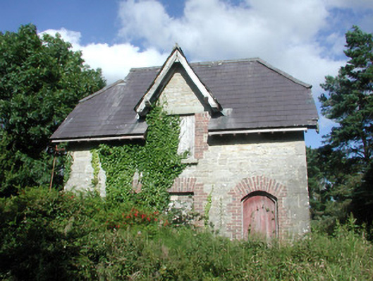 Benbulbin Old Schoolschool master's house · 1673 yd
 Church (in Ruins)Church · 1.0 mi
 BenbulbenMountain · 1.3 mi
 BenbulbinMountain / peak · 1.4 mi
 Benwiskin South TopMountain / peak · 1.6 mi
 Dermot & Grania's BedCave · 2.1 mi
 InishnagorIslet · 2.7 mi
 Gleniff Horseshoe DriveViewpoint · 2.8 mi
 Gleniff Horseshoe Drive 2Viewpoint · 2.9 mi
 Connors IslandIsland · 3.0 mi
Other information
Photo: Credit not shown in the picture search · Rights wording not checked; contact us if this picture should be removed