What is recorded here
Enclosure in Kerries East is a vanished complex of banks and fields on a limestone outcrop in County Kerry, Ireland. A large oval enclosure and two smaller circles once shaped the land, but improvement and removed field banks have reduced them to faint undulations. The site still belongs to the living landscape, holding a prehistoric pattern that human hands have partly erased.
'Aerial photography indicated the presence of (KE029-299----) a possible large, oval enclosure c, 75m by 50m in this area, with associated banks and two smaller enclosures [KE029-300----, KE029-301----] (c. 30m diameter). The site is located in lands that have been extensively improved and the features are very hard to distinguish at ground level due to the remnants of now removed field banks. However, there are traces of banks that do not relate to previous recorded field patterns in the area located on top of and around the perimeter of a low limestone outcrop that has been heavily altered and partially covered with imported soil. The banks are only visible a faint undulations in the ground surface but the presence of stone in some of the banks (probing) would suggest that this area was once the location of a complex of enclosures and field boundaries similar to those on Rosky Hill (KE029-297----, KE029-298---- - 250m to the north-west) and the recorded complex KE029-110---- (180m to the east). The aerial photography indicates that the material is spread over an area measuring 170m N-S and 140m E-W.'
Description from ‘The Prehistoric Settlement of the Lee Valley, Tralee, Co. Kerry; A Landscape Perspective’ by Michael Connolly. PhD Thesis UCC 2008
Date of upload: 03 July 2012
The monument record does not grant public access. Check the route and ask the landowner before entering private land.
- What survives
- Recorded monument
Places near here
 Fulacht fia in Knockanush EastFulacht fia · 357 yd
 Field system in Kerries East,kerries West,knockanush EastField system · 445 yd
 Clogherbrien Church (in ruins)Church · 823 yd
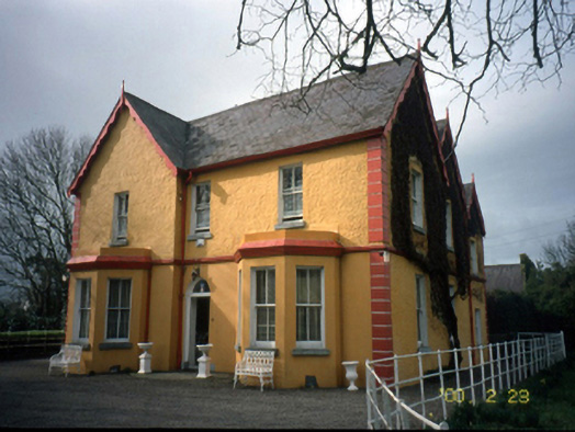 Mount Hawk Househouse · 1.1 mi
 View of WindmillHeritage attraction · 1.6 mi
 Blennerville WindmillHeritage attraction · 1.6 mi
 Castle MacallistrumCastle, unclassified · 1.7 mi
 Tralee Bay Wetlands Eco and Activity ParkNature reserve · 1.9 mi
 Pádraig Mac PiaraisMemorial · 2.0 mi
 Sonny McCarthy MemorialMonument · 2.0 mi
 CastleCastle, unclassified · 2.0 mi
 Tobar na MoltSpring · 3.1 mi