
What is recorded here
Knockanush East once held a fulacht fia in marshy ground beside the stream dividing it from Kerries East. People may have gathered there to heat stones, boil water or cook food while the valley steamed around them. Drainage pipes and land improvement later erased the mark, leaving only a hidden memory beneath the field.
'This monument is marked as "fulacht fian" on the OS second edition maps and is located in marshy ground on the northern side of the small stream that marks the boundary between the townlands of Knockanush East and Kerries East. There is now no trace of this site and it has presumably been levelled during the course of land improvement works. Linear marks within the field clearly indicate that drainage pipes have been placed in the area.'
Description from ‘The Prehistoric Settlement of the Lee Valley, Tralee, Co. Kerry; A Landscape Perspective’ by Michael Connolly. PhD Thesis UCC 2008
Date of upload: 06 July 2012
The monument record does not grant public access. Check the route and ask the landowner before entering private land.
- What survives
- Recorded monument
Places near here
 Field system in Kerries East,kerries West,knockanush EastField system · 323 yd
 Clogherbrien Church (in ruins)Church · 596 yd
 Enclosure in Ballyroe (trughanacmy By.)Enclosure · 1202 yd
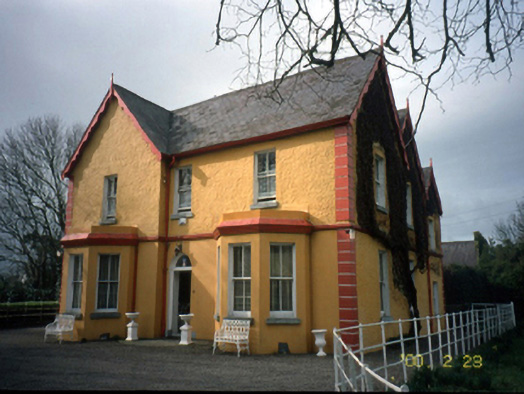 Mount Hawk Househouse · 1.1 mi
 Castle MacallistrumCastle, unclassified · 1.8 mi
 View of WindmillHeritage attraction · 1.8 mi
 Blennerville WindmillHeritage attraction · 1.8 mi
 Tralee Bay Wetlands Eco and Activity ParkNature reserve · 2.0 mi
 CastleCastle, unclassified · 2.1 mi
 The PikemanMemorial · 2.1 mi
 The DicemanMemorial · 2.1 mi
 Tobar na MoltSpring · 2.9 mi
Other information
Photo: Credit not shown in the picture search · Rights wording not checked; contact us if this picture should be removed