
What is recorded here
Levelled enclosure visible today as a subcircular-shaped cropmark on Digital Globe aerial photography.
Compiled by Alison McQueen, Vera Rahilly and Caimin O’Brien.
Date of upload: 06 November 2019
The monument record does not grant public access. Check the route and ask the landowner before entering private land.
- What survives
- Recorded monument
Places near here
 Enclosure in Hightown or BalloughterEnclosure · 129 yd
 OutlinedFairy fort / earthen ringfort · 175 yd
 Heathstown CastleCastle, tower house · 1240 yd
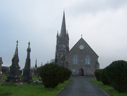 Saint Agnes's Catholic Churchchurch/chapel · 1676 yd
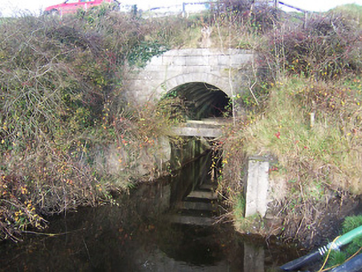 aqueductaqueduct · 1.1 mi
 Moat of PassCastle, motte · 2.3 mi
 Abandoned Kinnegad CanalWood · 8.2 mi
 Rahin WoodsForest · 8.3 mi
 Croppies' GraveMemorial · 9.0 mi
 CrossCross, Wayside cross · 1748 yd
 sluice/sluice gatesluice/sluice gate · 1.2 mi
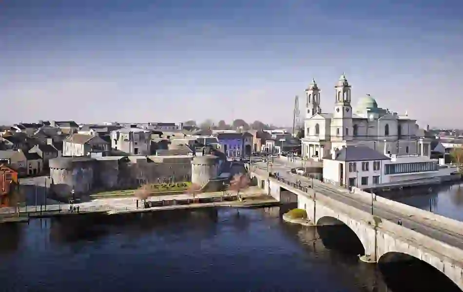 Man-made underground passage in BanagherMan-made underground passage · 1.3 mi
Other information
Photo: Credit not shown in the picture search · Rights wording not checked; contact us if this picture should be removed