What is recorded here
Situated on the grounds of Elmpark. A circular enclosure (diam. c. 20m) has been identified from an aerial photograph taken in 1971 (FSI 2:330/329). There is a housing estate on the site. There are no visible remains at ground level.
Compiled by Geraldine Stout
date of upload: 25th April 2012
This remains an important historical record, but the official description says the monument is no longer visible or has been destroyed. The monument record does not grant public access. Check the route and ask the landowner before entering private land.
- What survives
- No visible remains or recorded as destroyed
Places near here
 European YewEuropean Yew · 464 yd
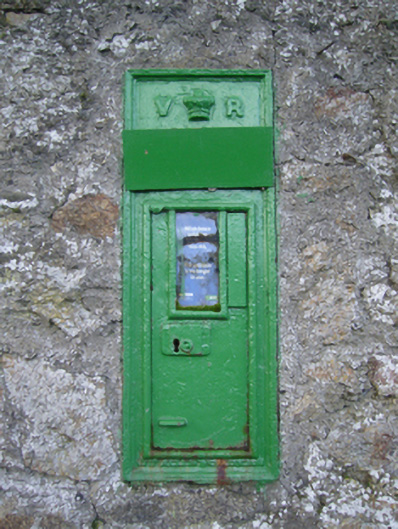 post boxpost box · 496 yd
 Start / End Point Wicklow WayVisitor information · 534 yd
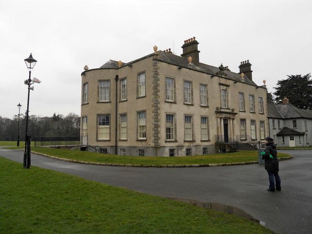 Marlay Housecountry house · 551 yd
 IndicatedMound · 889 yd
 Lebanon CedarLebanon Cedar · 895 yd
 Fairy Tree HomeHeritage attraction · 1140 yd
 Nature RoomHeritage attraction · 1245 yd
 ObeliskMemorial · 1468 yd
 Brehons ChairPortal tomb · 1607 yd
 WhitecliffVisitor information · 1610 yd
 CastleCastle, Anglo-Norman masonry castle · 1624 yd