What is recorded here
In level pasture. Rectangular area (11m N-S; 8m E-W) defined by an earthen bank (int. H 0.1m; ext. H 0.75m) with an external fosse (D 0.45m). Interior level, dry and clear of overgrowth.
Compiled by: Denis Power
Date of upload: 26 August 2011
The monument record does not grant public access. Check the route and ask the landowner before entering private land.
- What survives
- Recorded monument
Places near here
 Glenquin CastleCastle · 867 yd
 Church (in ruins)Church · 1190 yd
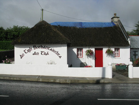 An Tigh Bothántaíochtahouse · 1233 yd
 Dotted outlineBawn · 1.1 mi
 Saint Ite's WellSpring · 1.2 mi
 Grave YardGraveyard · 1.2 mi
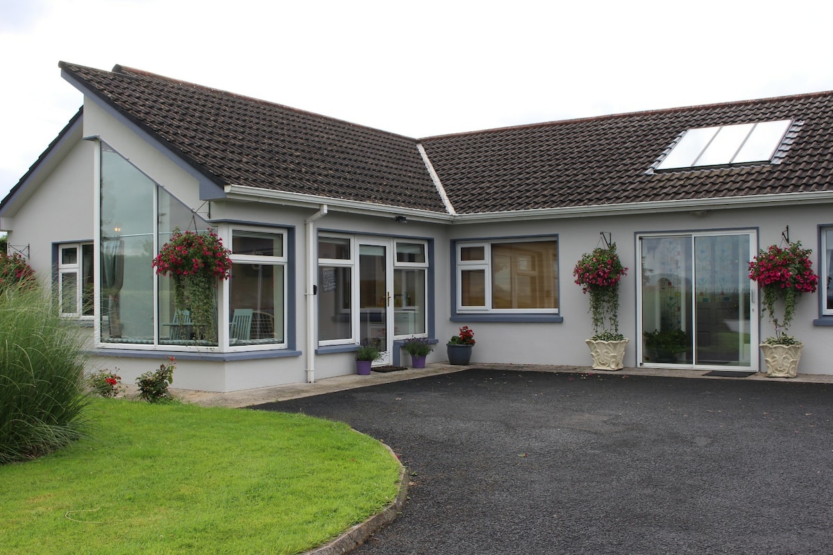 Enclosure in CamasEnclosure · 1.4 mi
 Ballagh MountainMountain / peak · 1.8 mi
 TobereenalaffinaSpring · 3.3 mi
 Barnagh HillMountain / peak · 3.6 mi
 Limerick GreenwayWalking route · 5.0 mi
 Mullaghareirk - Banane LoopWalking route · 5.7 mi