What is recorded here
Within a coniferous wood on bog on a N-facing slope. A circular area (diam. c. 10m), heavily overgrown with briars and gorse, is enclosed by the lower courses of a stone wall (T c. 1m; H c. 0.6m). Due to impenetrable nature of the site and its immediate surrounds, it is impossible to properly examine the site.
The monument record does not grant public access. Check the route and ask the landowner before entering private land.
- What survives
- Recorded monument
Places near here
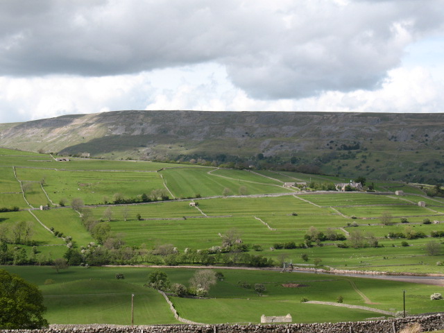 Cultivation ridges in GlanmaneCultivation ridges · 118 yd
 Field boundary in GlanmaneField boundary · 175 yd
 Church in Duagh (corkaguiny By.)Church · 424 yd
 Church in Arraglen (corkaguiny By., Castlegregory Ed),killiney,tullig (corkaguiny By., Castlegregory Ed)Church · 1268 yd
 KnockbegMountain / peak · 1.6 mi
 CummeenMountain / peak · 1.9 mi
 Graveyard in Baile An Chnocáin (tc An Cnoc Glas)Graveyard · 2.2 mi
 Faisr's GraveArchaeological place · 2.6 mi
 Site of Camp CastleCastle, unclassified · 2.6 mi
 CastleCastle, unclassified · 3.0 mi
 Glanteenassig Forest ParkForest · 3.3 mi
 Sandy Bay BeachBeach / strand · 4.9 mi