
What is recorded here
Situated at the SW corner of a large field of rough grazing at the base of N-facing slope with views over Tralee Bay. The land is used for grazing sheep. This monument is partially broken down but clearly visible within an area of tussocky grasses. This monument was found as part of licensed monitoring (22E040) required for a Grant of Afforestation. This monument consists of a length of relict field boundary (L. c. 60m; Wth 1m; H 0.6m) running E-W. It was built of random field stones and the E end is approximately 20m from an open drain. The W end finished short of the plot boundary and had probably been removed during earlier reclamation. It would appear that this field boundary is connected with the historic farm (KE036-119----) and field complex (KE036-119001-) located further to the W.
See attached images courtesy of Tony Miller
Compiled by: Caimin O’Brien based on details provided by Tony Miller
Date of upload: 23 February 2022
The monument record does not grant public access. Check the route and ask the landowner before entering private land.
- What survives
- Recorded monument
Places near here
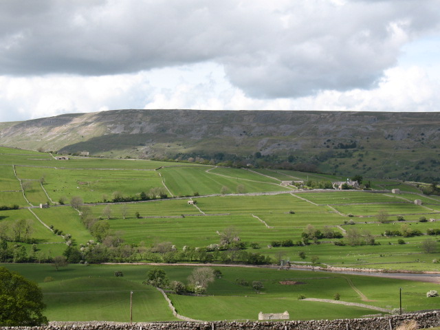 Cultivation ridges in GlanmaneCultivation ridges · 180 yd
 Church in Duagh (corkaguiny By.)Church · 564 yd
 Hut site in Duagh (corkaguiny By.)Hut site · 605 yd
 Church in Arraglen (corkaguiny By., Castlegregory Ed),killiney,tullig (corkaguiny By., Castlegregory Ed)Church · 1426 yd
 KnockbegMountain / peak · 1.6 mi
 CummeenMountain / peak · 1.9 mi
 Graveyard in Baile An Chnocáin (tc An Cnoc Glas)Graveyard · 2.2 mi
 Faisr's GraveArchaeological place · 2.5 mi
 Site of Camp CastleCastle, unclassified · 2.5 mi
 CastleCastle, unclassified · 2.9 mi
 Glanteenassig Forest ParkForest · 3.4 mi
 Sandy Bay BeachBeach / strand · 5.0 mi
Other information
Photo: Credit not shown in the picture search · Rights wording not checked; contact us if this picture should be removed