
What is recorded here
In an area of scrub which has been reclaimed. Identified as a circular enclosure (diam. c. 11m) on a high altitude aerial photograph (GSI 1973-7). On the same photograph another enclosure (KK024-053001-) was identified c. 12m to the SE, though the photograph image of this (KK024-053001-) is clearer.
See attached:
KK024-053002-_01 aerial photograph (GSI 1973-7)
Compiled by: Jean Farrelly
Date of upload: 29 September 2021
The monument record does not grant public access. Check the route and ask the landowner before entering private land.
- What survives
- Recorded monument
Places near here
 Red BogForest · 229 yd
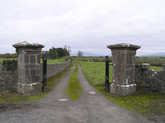 gates/railings/wallsgates/railings/walls · 549 yd
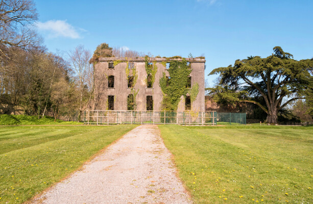 Enclosure in BramblestownEnclosure · 630 yd
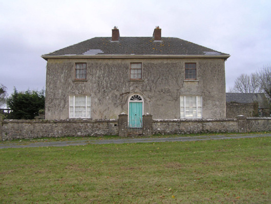 rectory/glebe/vicarage/curate's houserectory/glebe/vicarage/curate's house · 1048 yd
 Enclosure in Dungarvan GlebeEnclosure · 1199 yd
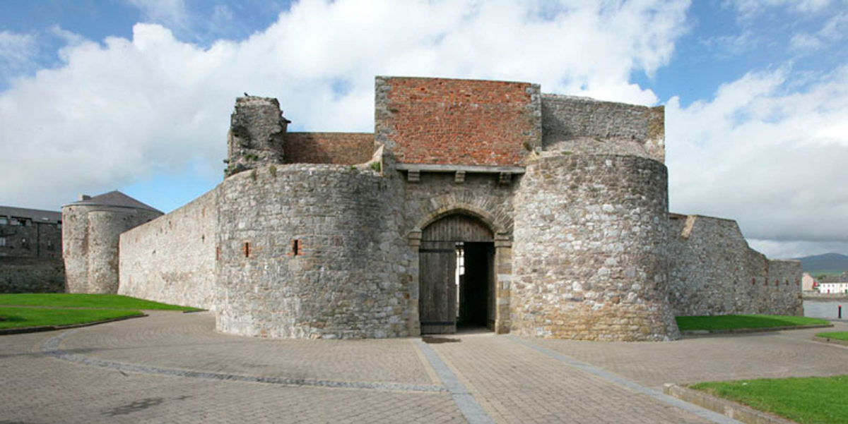 Site of Dungarvan CastleCastle, tower house · 1286 yd
 CastleCastle, motte · 1438 yd
 BogForest · 1.3 mi
 Tullaherin Church and Round TowerVisitor information · 2.2 mi
 Kilbline GraveyardArchaeological place · 3.2 mi
 Time CapsuleMemorial · 4.0 mi
 St. Mogarra’s WellSpring · 5.9 mi
Other information
Photo: Credit not shown in the picture search · Rights wording not checked; contact us if this picture should be removed