What is recorded here
The small enclosure indicated at this location on a aerial photograph (GSI 1973, V280/281) could not be found. It is not marked on the OS maps and was situated on rough mountain pasture on the W side of the Blackwater river valley. It may have been removed during the construction, in the early 1990s, of a mountain road at this location.
The above description is derived from A. O'Sullivan and J. Sheehan (compilers), 'The Iveragh peninsula: an archaeological survey of South Kerry'. Cork University Press (1996), no. 803. In certain instances the entries have been revised and updated in the light of recent research.
Date of upload: 29 July 2013
The monument record does not grant public access. Check the route and ask the landowner before entering private land.
- What survives
- Recorded monument
Places near here
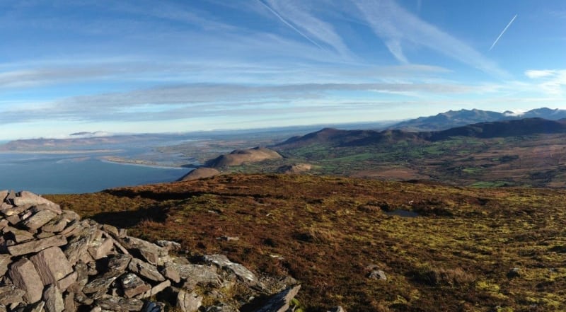 Faher MountainMountain / peak · 1459 yd
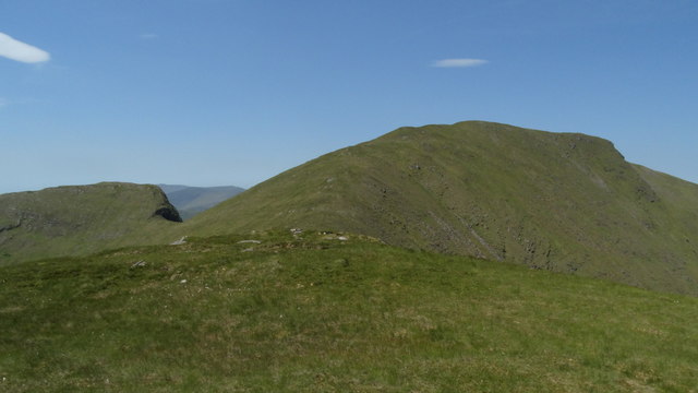 Beann South TopMountain / peak · 1.0 mi
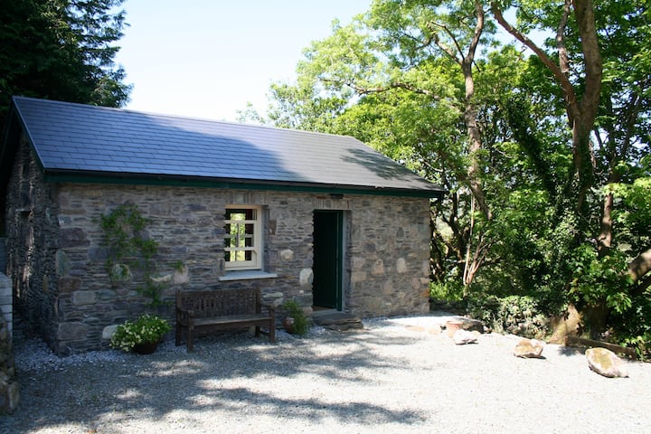 Enclosure in CoomyannaEnclosure · 1.2 mi
 Hut site in CoomlumminyHut site · 1.4 mi
 Ballaghbeama GapViewpoint · 2.7 mi
 RoadRoad, road/trackway · 4.8 mi
 Blackwater Cottagehouse · 5.2 mi
 De Gaulle MemorialMonument · 5.4 mi
 Sneem Commemoration PlaqueMemorial · 5.4 mi
 Lackeen PointHeadland · 5.6 mi
 Rossmore IslandIsland · 5.8 mi
 Ormond's IslandIslet · 6.7 mi