What is recorded here
Situated on flat pasture in upland area, no surface remains visible. Site identified from GSI aerial Photographs (S 91/2 ) taken in 1973.
Compiled by: Jean Farrelly and Caimin O'Brien
Date of upload/revision: 22 September 2008
The monument record does not grant public access. Check the route and ask the landowner before entering private land.
- What survives
- Recorded monument
Places near here
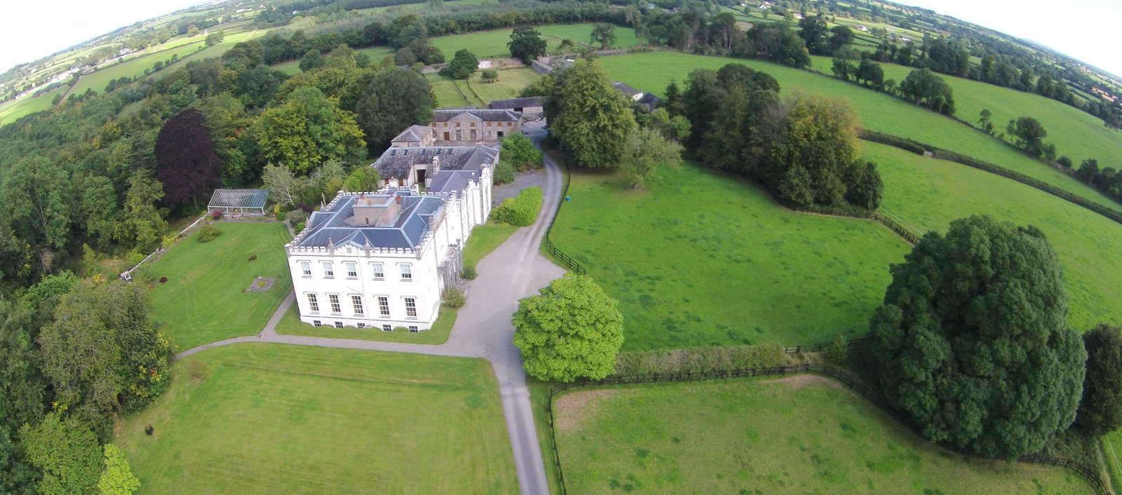 Enclosure in BallyheenEnclosure · 438 yd
 CastleCastle, unclassified · 668 yd
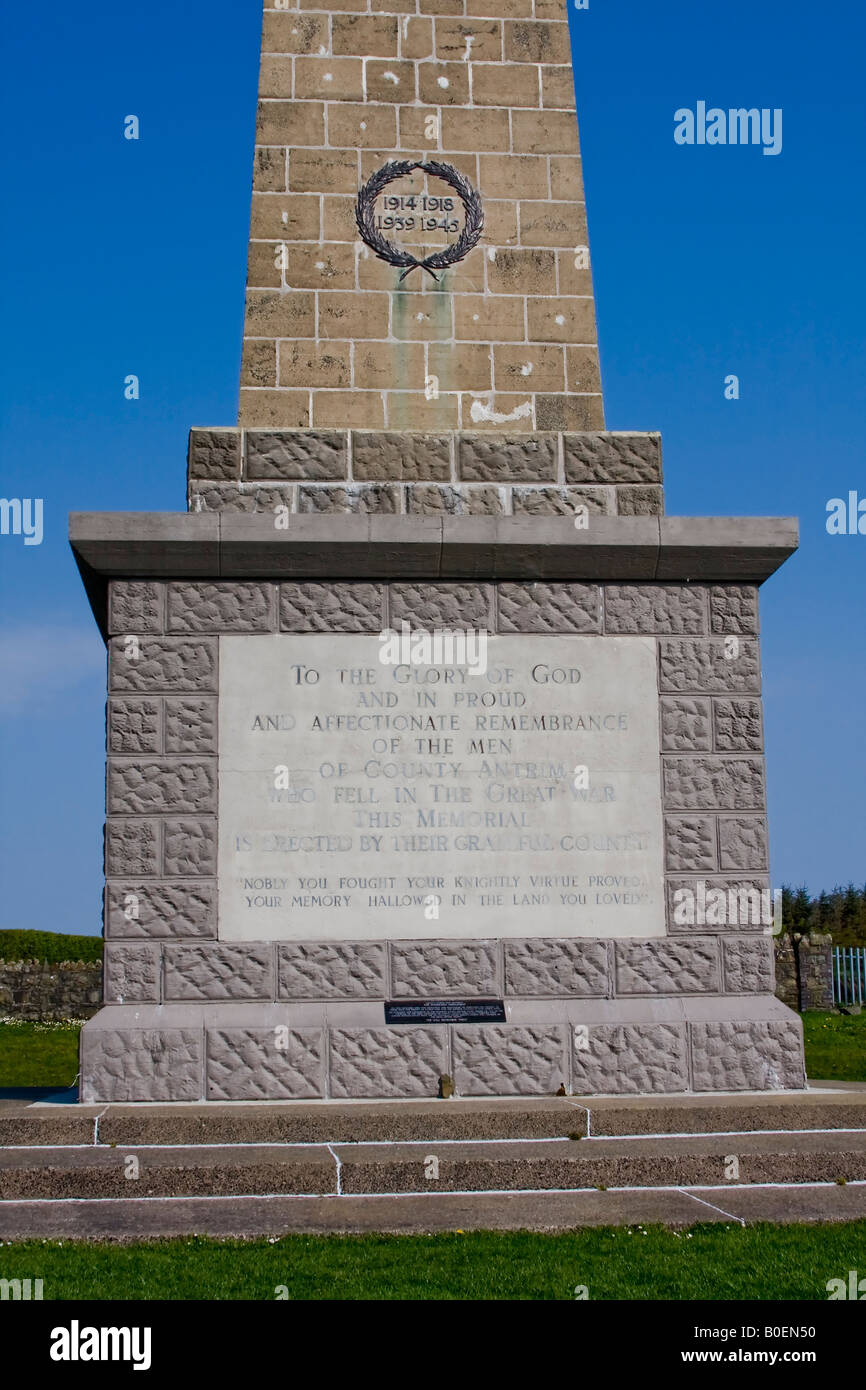 Enclosure in Knockagh (drom Par.)Enclosure · 813 yd
 Sandymount Castlefolly · 1353 yd
 Morris's GroveForest · 1.0 mi
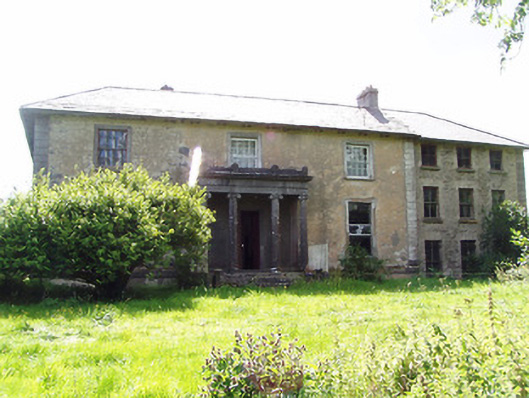 Lloydsborough Housecountry house · 1.1 mi
 Castle (in ruins)Castle, tower house · 1.1 mi
 Devil's Bit MountainMountain / peak · 2.4 mi
 Kilvilcorris BogForest · 2.7 mi
 College HillMountain / peak · 3.1 mi
 Fairy HillArchaeological place · 1230 yd
 Enclosure in OldtownEnclosure · 1329 yd