What is recorded here
In rough pasture, atop limestone hillock. Monument, depicted on 1841 OS 6-inch map as embanked enclosure (diam. c. 20m), is now largely inaccessible due to dense overgrowth. However, section of enclosure earth-and-stone bank (int. H 0.95m; ext. H 0.35m) is evident N->E and NE quadrant of interior is clear of overgrowth and relatively flat. Interior is lower than level of surrounding terrain in this area.
Compiled by: Denis Power
Date of upload: 26 August 2011
The monument record does not grant public access. Check the route and ask the landowner before entering private land.
- What survives
- Recorded monument
Places near here
 Burial ground in DromlohanBurial ground · 869 yd
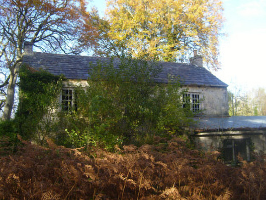 Dromlohan National Schoolschool · 951 yd
 Hollypark Housedemesne walls/gates/railings · 1203 yd
 Carriganea CastleCastle · 1595 yd
 Grave Yd.Graveyard · 1.2 mi
 CastleCastle, tower house · 1.3 mi
 Stonehall Visitor FarmHeritage attraction · 1.6 mi
 European YewEuropean Yew · 1.7 mi
 Curraghchase Forest ParkForest · 2.0 mi
 Sweet ChestnutSweet Chestnut · 2.6 mi
 Ringmoylan PierVisitor information · 3.0 mi
 Mellon PointHeadland · 3.9 mi