What is recorded here
Cropmark of circular-shaped enclosure (approx. diam. 40m) visible on Digital Globe aerial imagery.
See attached image from Google Earth aerial photographs taken 16/03/2016
Compiled by: Caimin O'Brien based on details provided by Jean-Charles Caillère
Date of upload: 15 April 2020
The monument record does not grant public access. Check the route and ask the landowner before entering private land.
- What survives
- Recorded monument
Places near here
 IndicatedCastle, motte · 553 yd
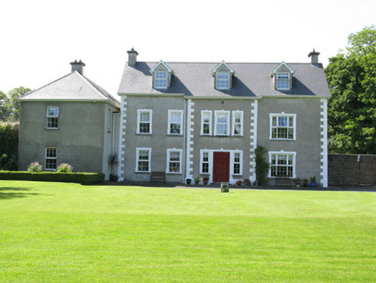 Castletown Conyerscountry house · 571 yd
 Castle (in ruins)Castle, hall-house · 619 yd
 Our Lady's WellSpring · 645 yd
 Church (in ruins)Church · 724 yd
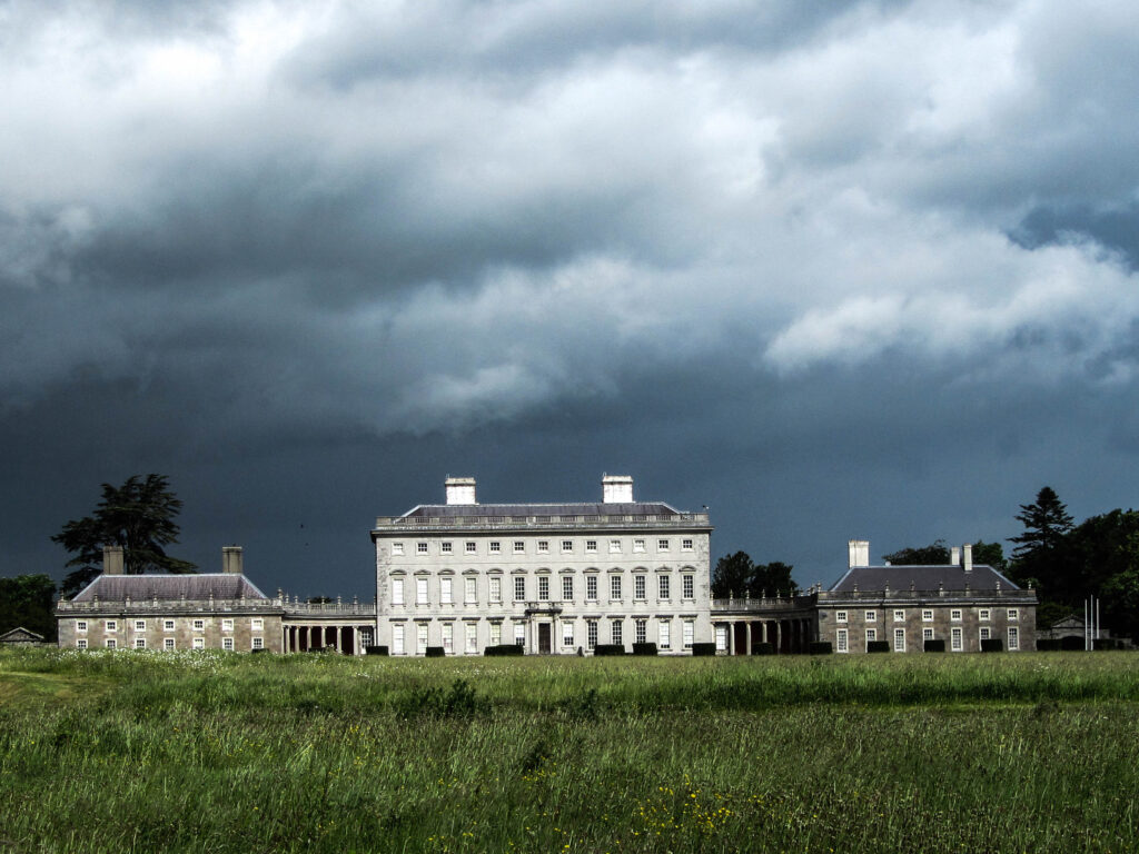 Enclosure in Castletown (connello Upper By.)Enclosure · 869 yd
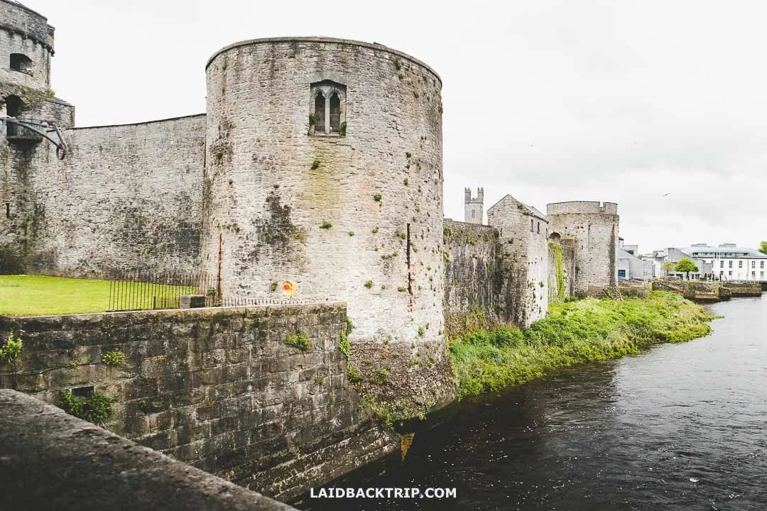 Cooreagh Fort - HachuredFairy fort / earthen ringfort · 1745 yd
 Saint Derivla's WellSpring · 1.7 mi
 Famine stoneMemorial · 3.9 mi
 KnockfeerinaMountain / peak · 3.9 mi
 National Co-op MuseumMuseum · 6.4 mi
 Mullaghareirk - Banane LoopWalking route · 12 mi