What is recorded here
Aerial photograph (GB89.AI.27) shows the cropmark of the W-half of a large circular enclosure with one entrance facing NE and a second in-turned entrance facing SW. A possible pit is located near the centre of the enclosure. The southernmost of three adjacent enclosures (KD034-018---- and KD034-019----).
Compiled by: Gillian Barrett
Date of upload: 12 December 2011
The monument record does not grant public access. Check the route and ask the landowner before entering private land.
- What survives
- Recorded monument
Places near here
 Enclosure in Castlereban SouthEnclosure · 382 yd
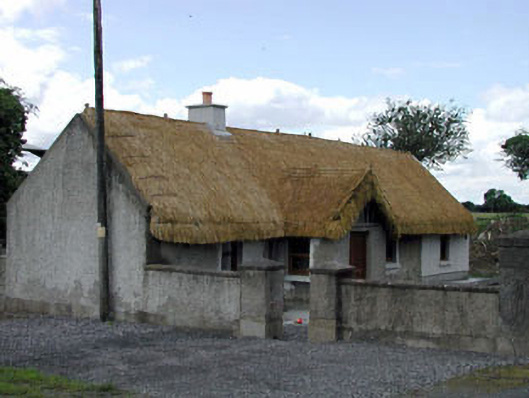 Reban Lodgehouse · 422 yd
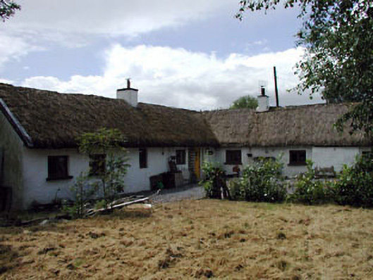 Rosebank Cottagehouse · 552 yd
 Enclosure in Castlereban NorthEnclosure · 759 yd
 Reban CastleCastle, Anglo-Norman masonry castle · 1205 yd
 IndicatedBawn · 1.1 mi
 Brackney WoodForest · 2.0 mi
 Pedunculate OakPedunculate Oak · 2.8 mi
 DM PenderMemorial · 3.1 mi
 1798 memorialMemorial · 3.2 mi
 Town HallMuseum · 3.2 mi
 Cobbler's Castle WalkWalking route · 3.4 mi