What is recorded here
Situated on low-lying pasture in an undulating area. The site was destroyed in the 1970s (Stout 1984, 37). Not visible at ground level.
The above description is derived from 'The Archaeological Inventory of County Tipperary. Vol. 1 - North Tipperary' compiled by Jean Farrelly and Caimin O'Brien (Dublin: Stationery Office, 2002). In certain instances the entries have been revised and updated in the light of recent research.
Date of upload/revision: 22 September 2008
This remains an important historical record, but the official description says the monument is no longer visible or has been destroyed. The monument record does not grant public access. Check the route and ask the landowner before entering private land.
- What survives
- No visible remains or recorded as destroyed
Places near here
 Church (site of)Church · 467 yd
 Settlement desertedSettlement deserted, medieval · 610 yd
 Drummin Castle (in ruins)Castle, tower house · 1036 yd
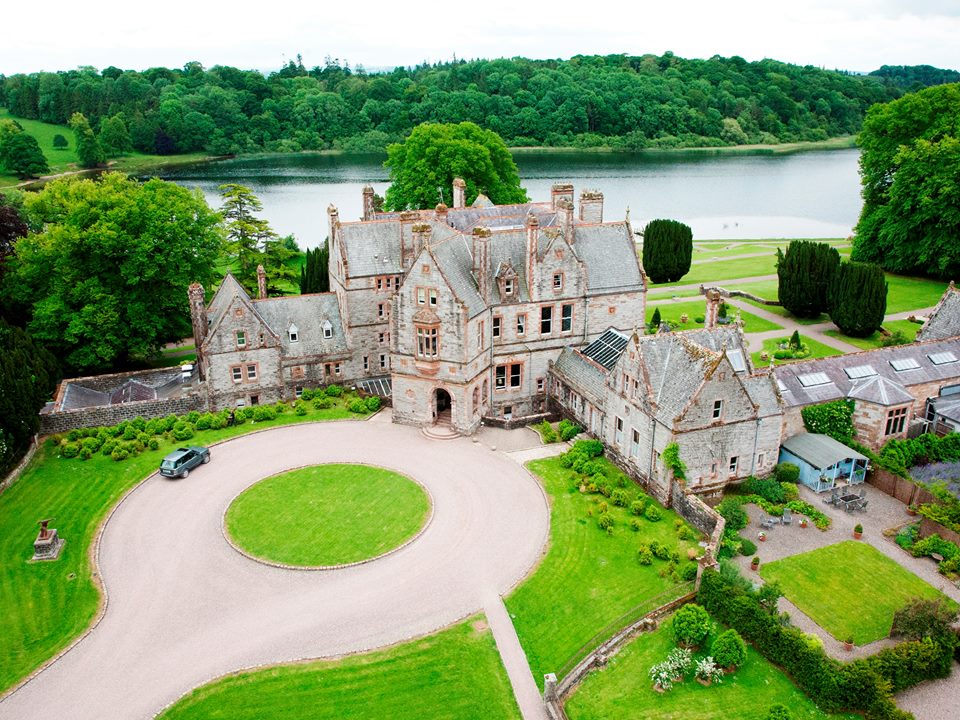 Lisalleen Castle (in ruins)Castle, unclassified · 1248 yd
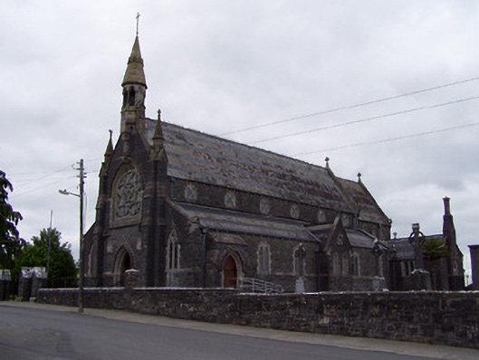 Catholic Church of the Sacred Heartchurch/chapel · 1472 yd
 Tullow HillMountain / peak · 1.6 mi
 Clonmeen WoodWood · 3.5 mi
 Morris's GroveForest · 4.9 mi
 College HillMountain / peak · 5.1 mi
 Pheasant IslandHeritage attraction · 7.8 mi
 Lár na PáirceMuseum · 7.9 mi