What is recorded here
A circular enclosure hides in Ballycuddihy grassland, its shallow ditch revealed only when summer drought stressed the field. It sits on an east-facing slope beside a ringfort, facing open country rather than the blocked horizon behind it. The absence of a visible gap suggests an entrance at the southwest, where the mark fades. People may have lived there, tended it, or simply passed it by before dry grass gave the circle back.
On an E-facing slope, just off the crest of a hill, in grassland. The monument itself slopes slightly to the N. A ringfort (KK018-070----) is located on the crest of the hill 140m to the W. The monument was identified by the landowner Joe Delaney as a circular cropmark which showed up during a spell of very dry weather in July 2018. The view from the monuement is impeded by rising ground from SSE-NNW, but is good N-NNE and extensive NNE-E-SE. A circular cropmark (diam. 33m N-S; 31.8m E-W) indicating the fosse (average Wth c. 2m) of an enclosure, evident as lush grass-growth in contrast to the rest of the field where the grass growth has been stunted by lack of rainfall. The cropmark is not as well defined in the SW quadrant and as there is no break in the cropmark elsewhere it is likely that the entrance to the enclosure was in this quadrant. A slightly meandering linear cropmark, evidence of a field boundary which post-dated the enclosure, runs NW-SE across the W side of the monument, transecting it from the NW to the S quadrant. The enclosure is not indicated on the 1st (1839) or 2nd (1900) ed. OS 6-inch maps.
See attached aerial images by Padraig Walsh, Aerial Drone Photography (18 July 2018):
KK018-103----_01 Cropmark of enclosure
KK018-103----_02 Cropmark of enclosure with ringfort (KK018-070----) to the right.
Compiled by: Jean Farrelly
Date of upload: 20 July 2018
The monument record does not grant public access. Check the route and ask the landowner before entering private land.
- What survives
- Recorded monument
Places near here
 HachuedFairy fort / earthen ringfort · 226 yd
 Enclosure in KnockeenglassEnclosure · 842 yd
 Saint Brigid's Catholic Churchchurch/chapel · 1372 yd
 Ballykeeffe Mass RockNamed rock · 1565 yd
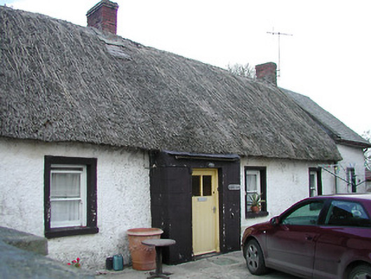 The Thatchhouse · 1.1 mi
 Ballykeefe WoodForest · 1.2 mi
 Ballykeefe QuarryCliff · 1.4 mi
 Ballykeefe AmphitheatreHeritage attraction · 1.4 mi
 Site of CastleCastle, unclassified · 1.8 mi
 Saint Brigid's WellSpring · 1.9 mi
 CastleCastle, unclassified · 2.0 mi
 Millennium WoodWood · 2.9 mi